Weed Heights, Nevada
| Weed Heights | |
|---|---|
| Unincorporated community | |
 Weed Heights Location within the state of Nevada | |
| Coordinates: 38°59′00″N 119°12′35″W / 38.98333°N 119.20972°WCoordinates: 38°59′00″N 119°12′35″W / 38.98333°N 119.20972°W | |
| Country | United States |
| State | Nevada |
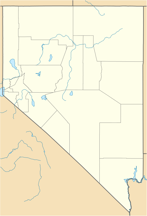
| County | Lyon |
| Time zone | Pacific (PST) (UTC-8) |
| • Summer (DST) | PDT (UTC-7) |
| ZIP codes | 89447 |
Weed Heights is an unincorporated community in Lyon County, Nevada, USA. It is adjacent to Yerington.
History
The Anaconda Copper Company built Weed Heights in 1952, named for Clyde E Weed, vice president in charge of Anaconda operations,[1] to support the Anaconda Mine.[2] A post office was established March 16, 1953.[1] The town was owned by Anaconda until the company was taken over by Atlantic Richfield Company.[3] Atlantic Richfield ceased operations in 1978 and sold the property in 1982 to Don Tibbals,[4] a Lyon County commissioner,[5] who subsequently sold the entire property to Arimetco, with the exception of the town of Weed Heights,[3] which is now a rental community and RV park.[6]
References
- 1 2 Carlson, Helen S. (1985). Nevada place names : a geographical dictionary. Reno: University of Nevada Press. p. 242. ISBN 0-87417-094-X.
- ↑ Glass, Mary Ellen and Al (1983). Touring Nevada: a historic and scenic guide. Reno: University of Nevada Press. p. 264.
- 1 2 "Health Consultation" (PDF). U.S. Department of Health and Human Services. August 22, 2006. p. 3. Retrieved March 23, 2009.
- ↑ "ARCO Pays $2.7 Million to Contain Waste at Old Copper Mine". Environment News Service. June 29, 2008.
- ↑ "Lyon County Board of Commissioners". Retrieved March 23, 2009.
- ↑ "Weed Heights website". Retrieved March 23, 2009.
Municipalities and communities of Lyon County, Nevada, United States | ||
|---|---|---|
| Cities | 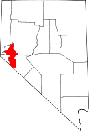 | |
| CDPs | ||
| Other unincorporated communities | ||
| Ghost towns | ||
| Indian reservation | ||
This article is issued from Wikipedia - version of the 6/28/2016. The text is available under the Creative Commons Attribution/Share Alike but additional terms may apply for the media files.