Washington State Route 109
| ||||
|---|---|---|---|---|
|
SR 109 highlighted in red, approved future route in purple. | ||||
| Route information | ||||
| Auxiliary route of US 101 | ||||
| Defined by RCW 47.17.200 | ||||
| Maintained by WSDOT | ||||
| Length: |
40.50 mi[1] (65.18 km) Mileage doesn't include future route. | |||
| Existed: | 1964[2] – present | |||
| Major junctions | ||||
| South end: |
| |||
|
| ||||
| North end: |
Quinault Street in Taholah (temporary) | |||
| Location | ||||
| Counties: | Grays Harbor | |||
| Highway system | ||||
| ||||

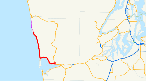
State Route 109 (SR 109) is a Washington state highway in Grays Harbor County. Beginning at its terminus at U.S. Route 101 (US 101) in Hoquiam, the highway travels west to intersect SR 115 north of Ocean Shores and then turns north to temporarily end at Quinault Street in Taholah, located in the Quinault Indian Reservation. The Washington State Legislature extended the roadway north to end at US 101 south of Queets through tribal lands, although this segment has yet to be built. SR 109 was first established as Secondary State Highway 9C (SSH 9C) in 1937, which was on a more northern alignment until 1947, when it was switched to a Hoquiam to Quinault Indian Reservation route. In 1964, SSH 9C was renumbered to SR 109 and in 1983, a spur route of SR 109 that bypasses Hoquiam was added; the route was extended to US 101 near Queets in 1985.
Route description
State Route 109 (SR 109) begins at an intersection with U.S. Route 101 (US 101) in downtown Hoquiam. After intersecting the couplet, a daily average of 9,600 motorists in 2007, making it the busiest segment of SR 109;[3] From the intersection with US 101, the highway is named Emerson Avenue and travels west past its couplet,[1] paralleling the Hoquiam–Elma route of the Puget Sound and Pacific Railroad.[4][5] After leaving Downtown Hoquiam and passing the John Gable Community Park, the roadway intersects SR 109 Spur and then becomes unnamed.[1] After leaving Hoquiam city limits, the railroad ends and the road turns northwest to SR 115 north of Ocean Shores. At the junction, SR 109 curves north along the Pacific Ocean and passes Ocean City, Copalis Beach, Griffiths-Priday State Park, Pacific Beach and Moclips before entering the Quinault Indian Reservation and Taholah to end at Quinault Street, located on the bank of the Quinault River.[6][7]
History
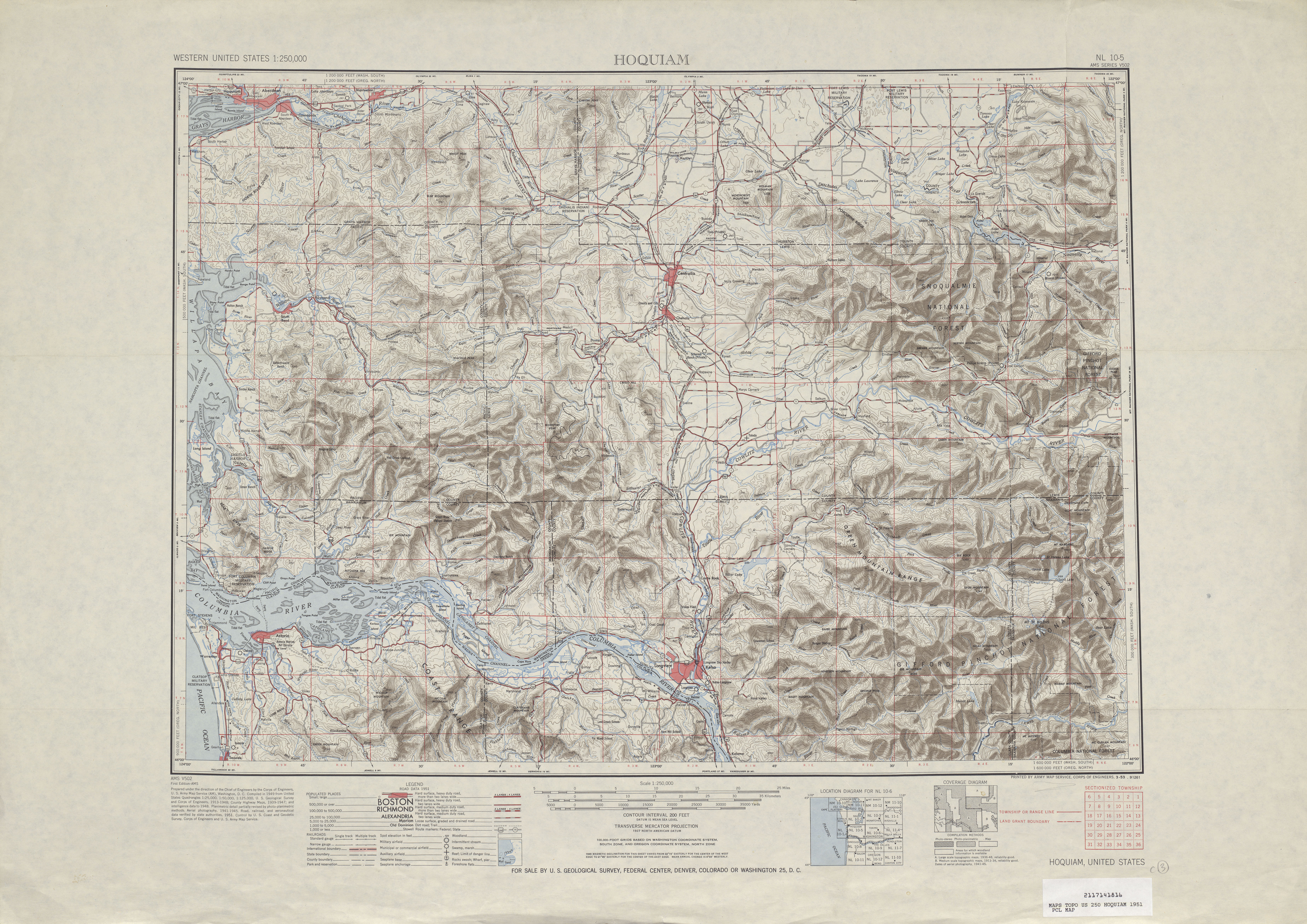
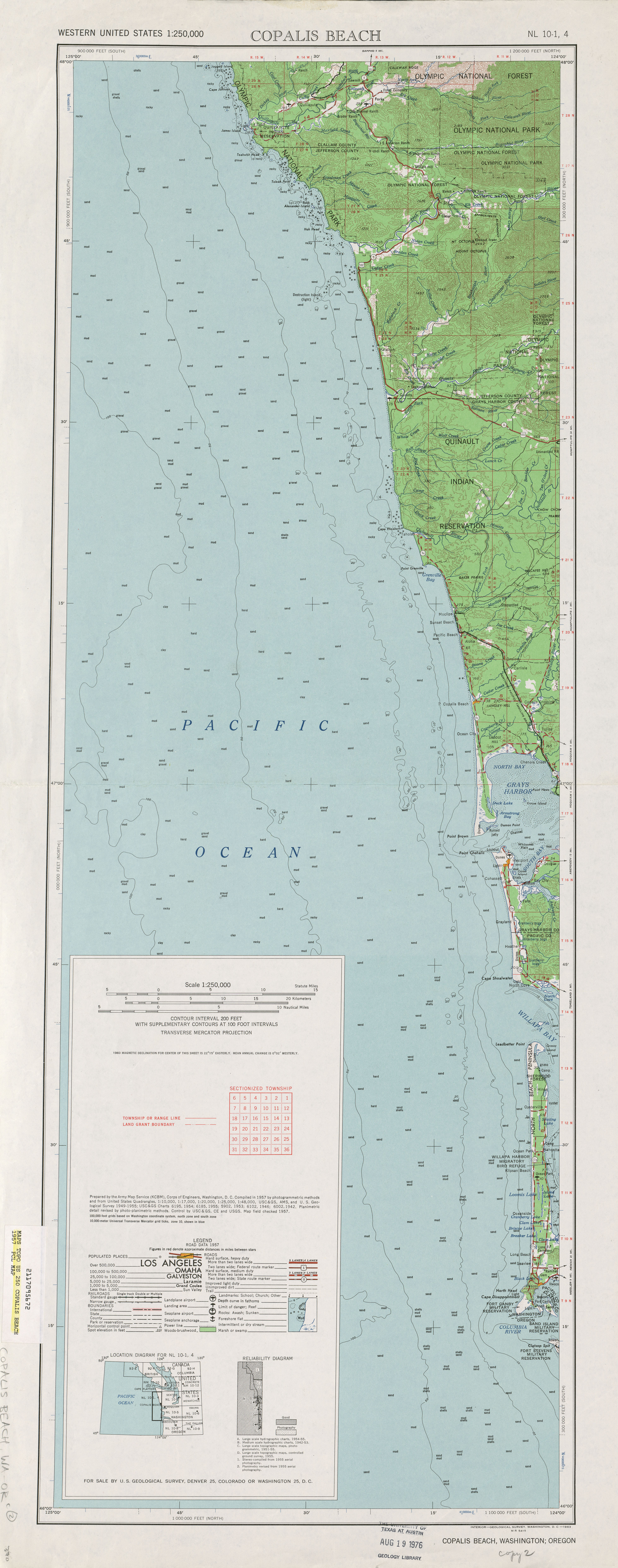
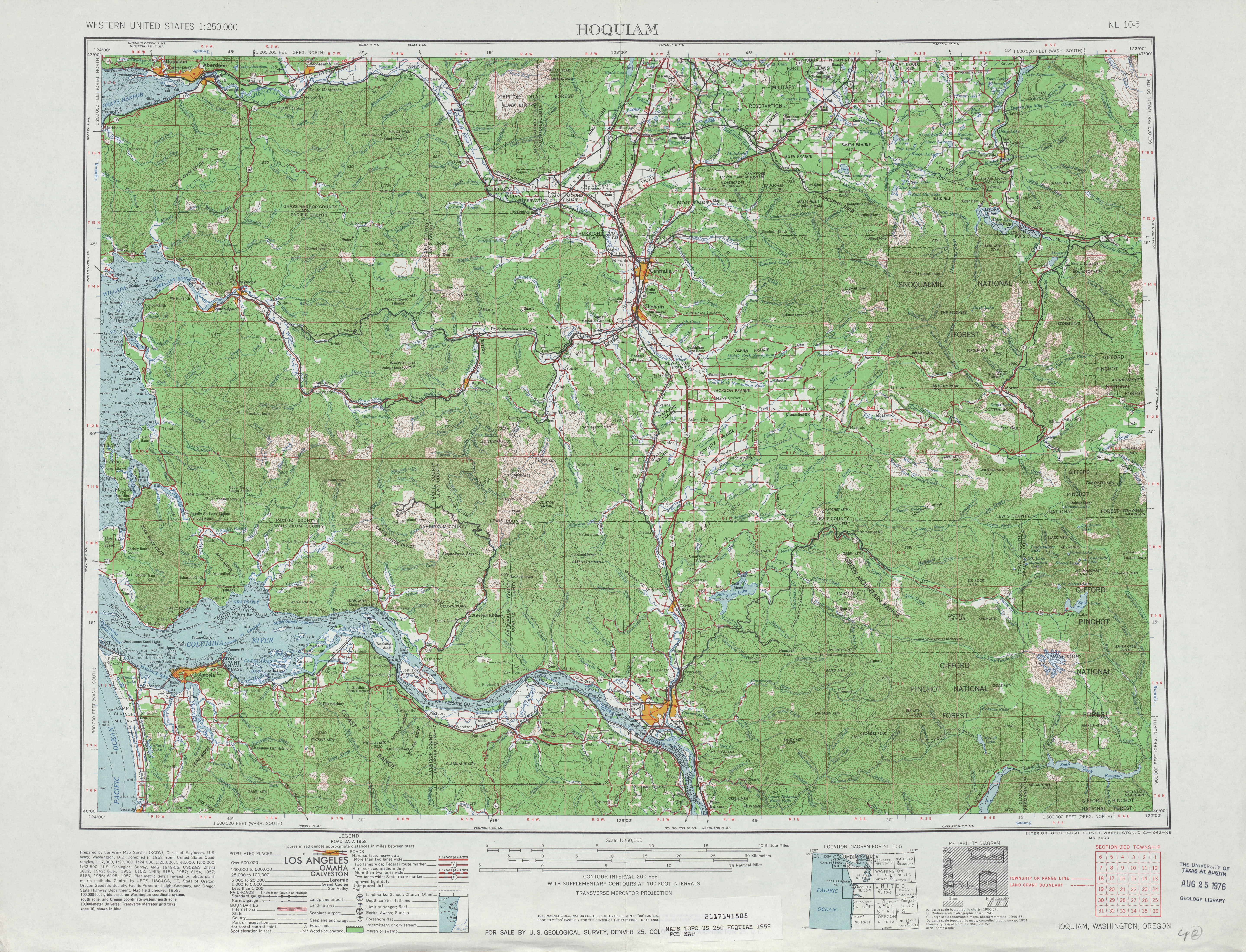
The primary and secondary highways were created in 1937 and one of the secondary highways, Secondary State Highway 9C (SSH 9C), would later become SR 109. SSH 9C was also established in 1937, but extended from Primary State Highway 9 (PSH 9), co-signed as U.S. Route 101 (US 101), north of Hoquiam and then traveled west to Pacific Beach, south to Copalis Beach and east to end at itself.[8] In 1947, the highway was moved to a route that ran from PSH 9 / US 101 in Hoquiam, west to Ocean City and north to the southern border of Quinault Indian Reservation north of Moclips.[9] Between Hoquiam and Moclips, a Great Northern Railway route named the Moclips spur, ran parallel to the roadway, first appearing on maps in 1951.[10][11][12] The road was renumbered to SR 109 during the 1964 highway renumbering;[2][13] the last time the railroad was shown on maps was in 1968.[14][15] A bypass of Downtown Hoquiam was built and signed as a spur route of SR 109 in 1983.[2] SR 109 was extended by the Washington State Legislature to US 101 south of Queets in 1985,[16] but as of 2009, the highway ends at Quinault Street in Taholah.[7] The roadway will be maintained by the Washington State Department of Transportation (WSDOT) and will be partially a limited-access road.[17][18] The remaining right-of-way would be acquired by WSDOT and the highway could be partially funded by federal funds.[19][20][21] The Moclips River Bridge, located in Moclips, is being replaced because of sediment accumulation. Construction was set to start in 2010, but the work was suspended due to budgetary reasons.[22][23]
Bannered routes
Spur route
| |
|---|---|
| Location: | Hoquiam |
| Existed: | 1983[2]–present |
State Route 109 Spur (SR 109 Spur) is a spur route of SR 109 located in Hoquiam and 1.82 miles (2.93 km) in length.[1] The highway, named Bi Pass Road,[24] bypasses Downtown Hoquiam and runs from SR 109 to U.S. Route 101 (US 101).[1][24] The spur route was added in 1983 by the Washington State Legislature.[2] The busiest segment of SR 109 Spur in 2007 was the US 101 intersection with a daily average of 410 motorists.[3]
Couplet
Within Hoquiam, SR 109 is split into two streets, Emerson Street is signed as SR 109 northbound and Simpson Avenue is signed as the SR 109 Couplet (eastbound) and runs 0.15 miles (0.24 km) from SR 109 to a US 101 couplet, which continues south as Simpson Avenue.[1][25][26] The daily average of the couplet in 2007 was 4,500 motorists.[3]
Major intersections
The entire route is in Grays Harbor County.
| Location | mi[1] | km | Destinations | Notes | |
|---|---|---|---|---|---|
| Hoquiam | 0.00 | 0.00 | |||
| 0.14 | 0.23 | ||||
| 1.79 | 2.88 | ||||
| | 16.11 | 25.93 | |||
| Taholah | 40.50 | 65.18 | Quinault Street | Temporary northern terminus | |
| 1.000 mi = 1.609 km; 1.000 km = 0.621 mi | |||||
Spur intersections
The entire route is in Hoquiam, Grays Harbor County.
| mi[1] | km | Destinations | Notes | ||
|---|---|---|---|---|---|
| 0.00 | 0.00 | ||||
| 1.82 | 2.93 | ||||
| 1.000 mi = 1.609 km; 1.000 km = 0.621 mi | |||||
Couplet intersections
The entire route is in Hoquiam, Grays Harbor County.
| mi[1] | km | Destinations | Notes | ||
|---|---|---|---|---|---|
| 0.00 | 0.00 | ||||
| 0.15 | 0.24 | ||||
| 1.000 mi = 1.609 km; 1.000 km = 0.621 mi | |||||
References
- 1 2 3 4 5 6 7 8 9 Washington State Department of Transportation (2006). "State Highway Log: Planning Report, SR 2 to SR 971" (PDF). Retrieved July 5, 2009.
- 1 2 3 4 5 Washington State Legislature (1983) [1970]. "RCW 47.17.200: State route No. 109". Retrieved July 5, 2009.
- 1 2 3 Washington State Department of Transportation (2007). "2007 Annual Traffic Report" (PDF). pp. 139–140. Retrieved July 7, 2009.
- ↑ Washington State Rail System (PDF) (Map). Cartography by United States Geological Survey. Washington State Department of Transportation. 2008. Retrieved July 7, 2009.
- ↑ Puget Sound and Pacific Railroad. Puget Sound & Pacific Railroad (PDF) (Map). RailAmerica. Retrieved July 7, 2009.
- ↑ Google (July 5, 2009). "State Route 109" (Map). Google Maps. Google. Retrieved July 5, 2009.
- 1 2 Washington State Highways, 2008–2009 (PDF) (Map) (2008–09 ed.). 1:842,000. Cartography by United States Geological Survey. Washington State Department of Transportation. 2008. § E1, E2, F2. Retrieved July 7, 2009.
- ↑ Washington State Legislature (March 18, 1937). "Chapter 207: Classification of Public Highways". Session Laws of the State of Washington. Session Laws of the State of Washington (1937 ed.). Olympia, Washington: Washington State Legislature. p. 1006. Retrieved July 7, 2009.
(c) Secondary State Highway No. 9C; beginning at a junction with Primary State Highway No. 9 in the vicinity north of Hoquiam, thence in a northwesterly direction by the most feasible route by way of Pacific Beach, thence in a southerly direction by the most feasible route by way of Copalis, thence in an easterly direction by the most feasible route to a junction with Secondary State Highway No. 9C, as herein described, in the vicinity of Copalis Crossing.
- ↑ Washington State Legislature (1947). "Chapter 232". Session Laws of the State of Washington. Session Laws of the State of Washington (1947 ed.). Olympia, Washington: Washington State Legislature. Retrieved July 7, 2009.
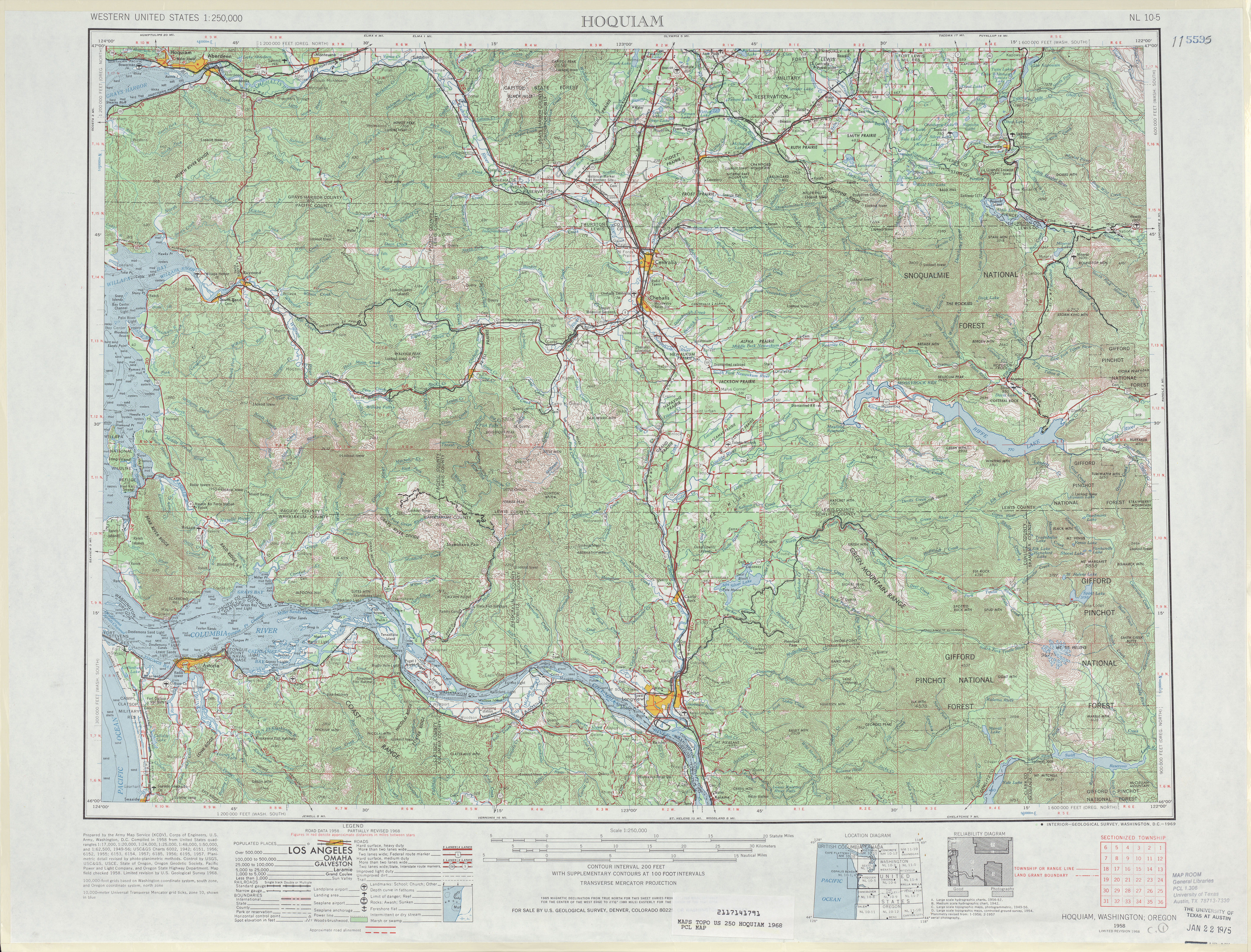
- ↑ United States Geological Survey (1951). Hoquiam, 1951 (Map). 1:250,000. University of Texas at Austin. Retrieved July 7, 2009.
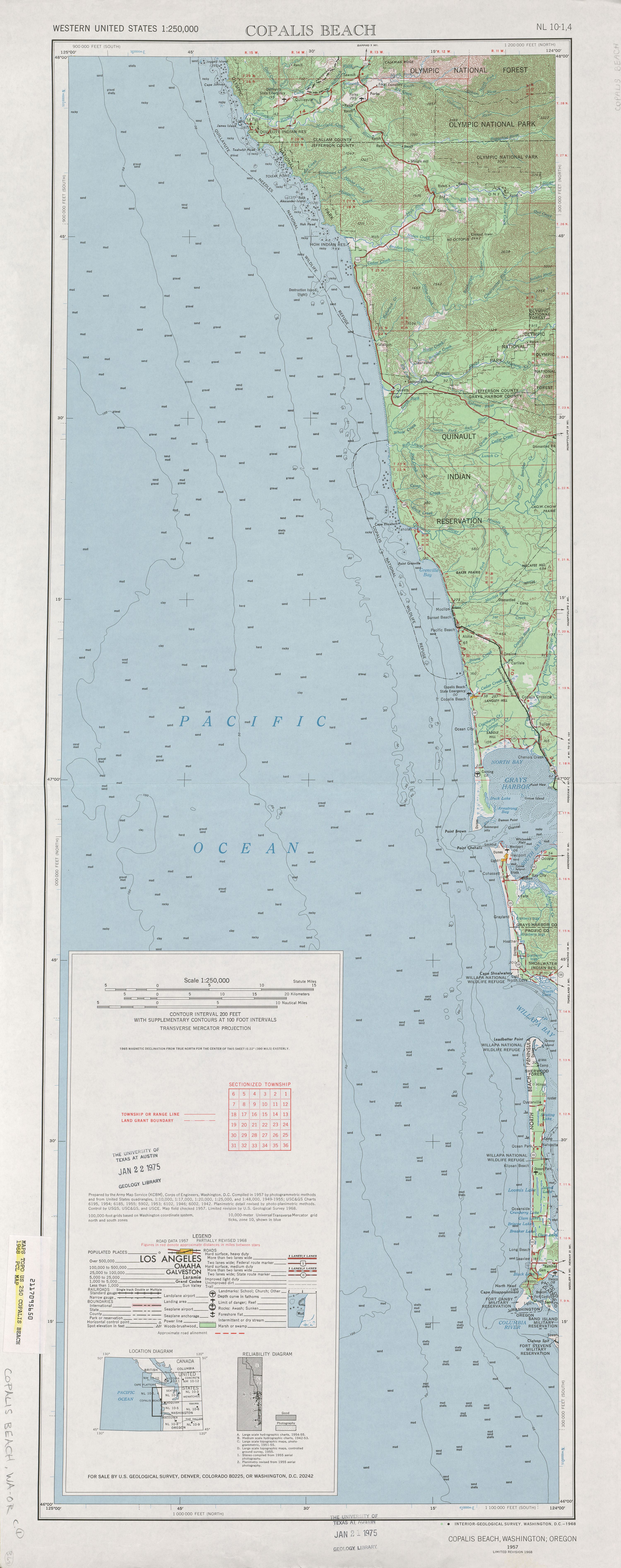
- ↑ United States Geological Survey (1957). Copalis Beach, 1957 (Map). 1:250,000. University of Texas at Austin. Retrieved July 7, 2009.
- ↑ United States Geological Survey (1958). Hoquiam, 1958 (Map). 1:250,000. University of Texas at Austin. Retrieved July 7, 2009.
- ↑ C. G. Prahl (December 1, 1965). "Identification of State Highways" (PDF). Washington State Highway Commission, Department of Highways. Retrieved July 7, 2009.
- ↑ United States Geological Survey (1968). Hoquiam, 1968 (Map). 1:250,000. University of Texas at Austin. Retrieved July 7, 2009.
- ↑ United States Geological Survey (1968). Copalis Beach, 1968 (Map). 1:250,000. University of Texas at Austin. Retrieved July 7, 2009.
- ↑ Washington State Legislature (1985). "RCW 47.20.010: Quinault Tribal Highway — Agreement authorized — Route.". Retrieved July 7, 2009.
- ↑ Washington State Legislature (1985). "RCW 47.20.015: Quinault Tribal Highway — Maintenance, operation, improvements — Intersections, access.". Retrieved July 7, 2009.
- ↑ Washington State Legislature (1985). "RCW 47.20.720: Quinault Tribal Highway — Certain portion as limited access.". Retrieved July 7, 2009.
- ↑ Washington State Legislature (1985). "RCW 47.20.725: Quinault Tribal Highway — Acquisition of remaining right-of-way.". Retrieved July 7, 2009.
- ↑ Washington State Legislature (1985). "RCW 47.20.730: Quinault Tribal Highway — Department as agent.". Retrieved July 7, 2009.
- ↑ Washington State Legislature (1985). "RCW 47.20.735: Quinault Tribal Highway — Authority to seek federal funding.". Retrieved July 7, 2009.
- ↑ Washington State Department of Transportation (2007). "SR 109 – Moclips River Bridge". Retrieved March 16, 2010.
- ↑ SR 109 – Moclips River Bridge (Map). Washington State Department of Transportation. Retrieved July 7, 2009.
- 1 2 Google (July 7, 2009). "State Route 109 Spur" (Map). Google Maps. Google. Retrieved July 7, 2009.
- ↑ Google (July 7, 2009). "State Route 109 Couplet" (Map). Google Maps. Google. Retrieved July 7, 2009.
- ↑ Washington State Department of Transportation (September 10, 2004). "SR 101; Junction SR 101 CO Aberdeen / SR 109" (PDF). Retrieved July 7, 2009.
External links
Former or proposed State Routes: SR 111 | ||