Ward No. 13, Kolkata Municipal Corporation
| Ward No. 13 | |
|---|---|
| Kolkata Municipal Corporation | |
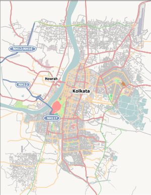 Ward No. 13 Location in Kolkata | |
| Coordinates: 22°35′39″N 88°23′09.2″E / 22.59417°N 88.385889°ECoordinates: 22°35′39″N 88°23′09.2″E / 22.59417°N 88.385889°E | |
| Country |
|
| State | West Bengal |
| City | Kolkata |
| Neighbourhood covered | Ultadanga |
| Parliamentary constituency | Kolkata Uttar |
| Assembly constituency | Maniktala |
| Borough | 3 |
| Population (2011) | |
| • Total | 33,066 |
| Time zone | IST (UTC+5:30) |
| PIN | 700 067 |
| Area code(s) | +91 33 |
Ward No. 13, Kolkata Municipal Corporation is an administrative division of Kolkata Municipal Corporation in Borough No. 3, covering parts of Ultadanga neighbourhood in north Kolkata, in the Indian state of West Bengal. It forms a city municipal corporation council electoral constituency and is a part of Maniktala (Vidhan Sabha constituency).[1]
Overview
The boundaries of the ward are as follows: The New Canal is to the north. The Eastern Railway Line and Harish Neogy Road are to the east. Bidhannagar Road and Harish Neogy Road are to the south. The Circular Canal is to the west.[2][3]
Demographics
As per 2011 Census of India Ward No. 13, Kolkata Municipal Corporation had a total population of 33,066, of which 17,633 (53%) were males and 13,433 (47%) were females. Population below 6 years was 2,589. The total number of literates in Ward No. 13 was 25,414 (83.39 % of the population over 6 years).[4]
Election highlights
| Election year | Constituency | Name of councillor | Party affililiation | |
|---|---|---|---|---|
| 2005 | Ward No. 13 | Tuhin Bera | Communist Party of India (Marxist) | [5] |
| 2010 | Birati Dutta | Communist Party of India (Marxist) | [6] | |
| 2015 | Anindiya Rout | All India Trinamool Congress | [7] |
| Party | Seats won | Seat change |
|---|---|---|
| All India Trinamool Congress | 116 | |
| Left Front | 15 | |
| Bharatiya Janata Party | 5 | |
| Indian National Congress | 5 | |
| Independents | 3 | |
Source: DNA West Bengal Municipal Election Results, 28th April 2015
Results of Kolkata Municipal Corporation Election, 2010
References
- ↑ "Delimitation Commission Order No. 18 dated 15 February 2006" (PDF). West Bengal. Election Commission. Retrieved 8 April 2015.
- ↑ Kolkata: Detail Maps of 141 Wards with Street Directory. D.P.Publications & Sales Concern, 66 College Street, Kolkata-700073, 4th edition 2003.
- ↑ "Municipal Wards". Yellow Pages.com. Retrieved 23 March 2015.
- ↑ "2011 Census – Primary Census Abstract Data Tables". West Bengal – District-wise. Registrar General and Census Commissioner, India. Retrieved 29 April 2016.
- ↑ Search the web for COUNCILLORS OF KOLKATA MUNICITIPAL CORPORATION. In the search list click on this. On clicking one gets an option “List of KMC Councillors”. Press <Open> to get to Adobe Acrobat file.
- ↑ "Kolkata Municipal Corporation General Election Results 2010". Government of West Bengal. Retrieved 23 March 2015.
- ↑ Prabahat Khabar, Hindi newspaper, print edition, 29 April, 2015
| Wards |
|
|---|---|
| Related topics | |
| See also |
|