Wales, South Yorkshire
Coordinates: 53°20′N 1°17′W / 53.33°N 1.29°W
Wales is a village and a civil parish in the Metropolitan Borough of Rotherham in South Yorkshire, England. Historically part of the West Riding of Yorkshire, it is on the border of South Yorkshire and Derbyshire. The civil parish of Wales, which has a population of 6,455,[1] increasing to 7,069 at the 2011 Census.[2] encompasses the village of Wales and neighbouring settlement Kiveton Park. The actual settlement of Wales has a 2011 population of 588.[3]
History
Wales shares its name with the country of Wales, and the derivation may well be the same: the name Wales coming from a Germanic root meaning foreigner and Roman. The suggestion, therefore, is that there was a continued Celtic presence here following the arrival of the Anglo-Saxons at the turn of the 6th century. The earliest reference to Wales is in 1002, when Wolfric Spot, a Saxon thegn, is recorded as owning Walesho.
Sir William Hewet, Lord Mayor of London in 1559, was born in Wales, and his descendants, the Dukes of Leeds, would come to dominate the area.
Geography
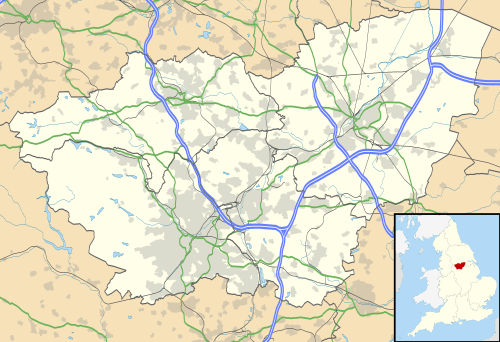
The village of Wales itself is located at approximately 53°20′30″N 1°16′45″W / 53.34167°N 1.27917°W, at an elevation of around 1,000 feet above sea level. It lies on the A618 and B6059 roads. The M1 motorway bisects the parish, while the southern boundary is partly marked by the Chesterfield Canal whose Norwood Tunnel runs under meadowland to the south. To the west of the village is Rother Valley Country Park.
Education and employment
Education in Wales is provided by Wales Primary School and Wales High School. The industrial estate at Wales Common continues to be a large source of employment (not least the food manufacturer Greencore Prepared Foods) & LUK part of the multi-national manufacturing group producing clutch & automotive parts.
References
- ↑ Office for National Statistics : Census 2001 : Parish Headcounts : Rotherham Retrieved 2009-08-28
- ↑ "Civil Parish population 2011". Neighbourhood Statistics. Office for National Statistics. Retrieved 10 March 2016.
- ↑ Wales is made up of two output areas: E00039269 and E00039274 in the Wales ward http://www.ukcensusdata.com/wales-e05001035#sthash.Dj7dOifD.QR4CsRRh.dpbs
External links
 Media related to Wales, South Yorkshire at Wikimedia Commons
- Wales in the Domesday Book