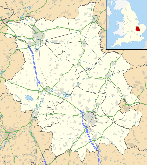
Upton, Cambridgeshire
| Upton | |
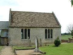 St John the Baptist, Upton |
|
 Upton |
|
| OS grid reference | TF10000 |
|---|---|
| Unitary authority | Peterborough |
| Ceremonial county | Cambridgeshire |
| Region | East |
| Country | England |
| Sovereign state | United Kingdom |
| Post town | Peterborough |
| Postcode district | PE6 |
| EU Parliament | East of England |
|
|
Coordinates: 52°35′28″N 0°22′12″W / 52.591°N 0.370°W
Upton is a civil parish in Peterborough, Cambridgeshire, England.[1] For electoral purposes it forms part of Glinton and Wittering ward in North West Cambridgeshire constituency.[2] The population of the parish is included in the civil parish of Sutton.
The Parish Church of St John the Baptist is a 12th-century Norman church with a north aisle rebuilt in 17th century. It was a chapel-of-ease and was built as a daughter church to St Kyneburgha's at Castor. The church is a Grade I listed building.[3] It is set in the fields to the east of the village, 100 yards from the Roman King Street.
References
- ↑ Ordnance Survey: Landranger map sheet 142 Peterborough (Market Deeping & Chatteris) (Map). Ordnance Survey. 2012. ISBN 9780319229248.
- ↑ "Ordnance Survey Election Maps". www.ordnancesurvey.co.uk. Ordnance Survey. Retrieved 3 April 2016.
- ↑ Historic England. "Details from listed building database (1127440)". National Heritage List for England.
External links
![]() Media related to Upton, Peterborough at Wikimedia Commons
Media related to Upton, Peterborough at Wikimedia Commons
This article is issued from Wikipedia - version of the 7/25/2016. The text is available under the Creative Commons Attribution/Share Alike but additional terms may apply for the media files.