Tonj Airport
| Tonj Airport | |||||||||||
|---|---|---|---|---|---|---|---|---|---|---|---|
| IATA: none – ICAO: HSTO | |||||||||||
| Summary | |||||||||||
| Airport type | Public, Civilian | ||||||||||
| Owner | Civil Aviation Authority of South Sudan | ||||||||||
| Serves | Tonj, South Sudan | ||||||||||
| Location |
| ||||||||||
| Elevation AMSL | 431 m / 1,414 ft | ||||||||||
| Coordinates | 07°15′58″N 028°39′45″E / 7.26611°N 28.66250°ECoordinates: 07°15′58″N 028°39′45″E / 7.26611°N 28.66250°E | ||||||||||
| Map | |||||||||||
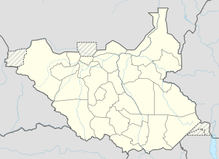 HSTO Location of airport in South Sudan | |||||||||||
| Runways | |||||||||||
| |||||||||||
Tonj Airport (ICAO: HSTO) is an airport serving Tonj in South Sudan. It is located in Tonj County in Tonj State, in the town of Tonj, in the northwestern part of South Sudan. The airport is located just outside town to the west of the central business district.
This location lies approximately 420 kilometres (260 mi), by air, northwest of Juba International Airport, the largest airport in South Sudan.[1] The geographic coordinates of this airport are: 7° 15' 59.89"N, 28° 39' 44.35"E (Latitude: 7.266639; Longitude: 28.662322). Tonj Airport is situated 431 metres (1,414 ft) above sea level.[2] The airport has a single unpaved runway, the dimensions of which are not publicly known at this time.
Overview
Tonj Airport is a small civilian that serves the town of Tonj and surrounding communities. The airport does not yet receive regular scheduled airline service.
Accidents
On 20 December 2009, a turboprop British Aerospace BAe-748-398, with four (4) crew members and thirty-seven (37) passengers, registration 5Y-YKM, operated by 748 Air Services, overshot the runway while landing, striking a cluster of houses and killing a woman and her child on the ground. None of the occupants were injured but the plane was damaged beyond repair and was written off.[3]