Maridi Airport
| Maridi Airport | |||||||||||
|---|---|---|---|---|---|---|---|---|---|---|---|
| IATA: n/a – ICAO: HSMD | |||||||||||
| Summary | |||||||||||
| Airport type | Public, Civilian | ||||||||||
| Owner | Civil Aviation Authority of South Sudan | ||||||||||
| Serves | Maridi, South Sudan | ||||||||||
| Location |
Maridi, | ||||||||||
| Elevation AMSL | 2,300 ft / 700 m | ||||||||||
| Coordinates | 04°54′10″N 29°26′36″E / 4.90278°N 29.44333°ECoordinates: 04°54′10″N 29°26′36″E / 4.90278°N 29.44333°E | ||||||||||
| Map | |||||||||||
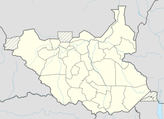 Maridi Location of Maridi Airport in South Sudan | |||||||||||
| Runways | |||||||||||
| |||||||||||
Maridi Airport is an airport serving Maridi in South Sudan.
Location
Maridi Airport (IATA: n/a, ICAO: HSMD) is located in Maridi East County in Maridi State, in the town of Maridi,[1] near the International border with the Democratic Republic of the Congo. This location lies approximately 236 kilometres (147 mi), by air, west of Juba International Airport, South Sudan's largest airport.[2] The geographic coordinates of this airport are: 4° 54' 0.00" N, 29° 26' 24.00"E (Latitude: 4.9000; Longitude: 29.4400). Maridi Airport is situated 700 metres (2,300 ft) above sea level. The airport has a single unpaved runway, the dimensions of which are not publicly known at this time.
Overview
Maridi Airport is a small civilian airport that serves the town of Maridi and surrounding communities. A flood in 1993 destroyed the easternmost portion of the runway. A packed dirt strip was hastily built; however, a permanent fix has not been created yet.
See also
References
- ↑ "Citizens of Maridi join hands to clean Maridi Airport". Radio Tamazuj. 1 July 2016. Retrieved 20 August 2016.
- ↑ Nautical Distance Between Juba Airport And Maridi Airport With Map