The Finger (Alberta)
| The Finger | |
|---|---|
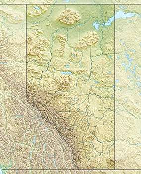 The Finger Location in Alberta | |
| Highest point | |
| Elevation | 2,545 m (8,350 ft) [1] |
| Coordinates | 51°13′15″N 115°43′00″W / 51.22083°N 115.71667°WCoordinates: 51°13′15″N 115°43′00″W / 51.22083°N 115.71667°W [1] |
| Geography | |
| Location | Alberta, Canada |
| Parent range | Sawback Range |
| Topo map | NTS 82O/04 |
| Climbing | |
| First ascent | 1935 by Lawrence Grassi[1] |
| Easiest route | YDS 5.5[1] |
The Finger is a mountain in the Sawback Range of the Canadian Rockies in Alberta, Canada.
References
- 1 2 3 4 "The Finger". PeakFinder. Retrieved 2006-09-19.
This article is issued from Wikipedia - version of the 5/26/2015. The text is available under the Creative Commons Attribution/Share Alike but additional terms may apply for the media files.