Pilot Mountain (Alberta)
For other uses, see Pilot Mountain (disambiguation).
| Pilot Mountain | |
|---|---|
 Pilot Mountain from Pilot Pond | |
| Highest point | |
| Elevation | 2,935 m (9,629 ft) [1] |
| Prominence | 302 m (991 ft) [2] |
| Coordinates | 51°11′15″N 115°49′30″W / 51.18750°N 115.82500°WCoordinates: 51°11′15″N 115°49′30″W / 51.18750°N 115.82500°W [1] |
| Geography | |
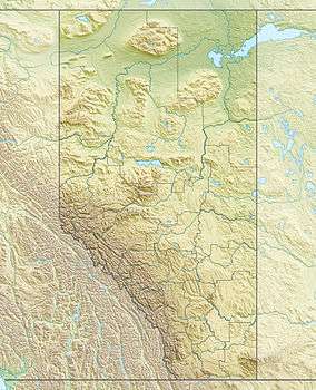 Pilot Mountain Location in Alberta | |
| Location | Alberta, Canada |
| Parent range | Massive Range |
| Topo map | NTS 82O/04 |
| Climbing | |
| First ascent | 1885 by the GSC[1][2] |
| Easiest route | Difficult scramble |
Pilot Mountain is a mountain in the Bow River valley of Banff National Park in Alberta, Canada. It is located southeast of Redearth Creek and directly west of the Trans-Canada Highway.
The mountain was named in 1884 by George M. Dawson, for its location is where the Bow Valley changes direction, thus affording distant views of the mountain all along the valley.
Pilot Mountain can be scrambled on the northwest face by someone with good routefinding skills. Nearby Mount Brett (2,984 m (9,790 ft)) can be ascended from a ridge off the western slopes of Pilot Mountain.
References
- 1 2 3 Peakfinder. "Pilot Mountain". Retrieved 2007-08-31.
- 1 2 "Pilot Mountain". Bivouac.com. Retrieved 2008-11-30.
External links
- Pilot Mountain Route Beta - Dow Williams
This article is issued from Wikipedia - version of the 5/24/2015. The text is available under the Creative Commons Attribution/Share Alike but additional terms may apply for the media files.