Tenhya
| Tenhya | |
|---|---|
| Commune and village | |
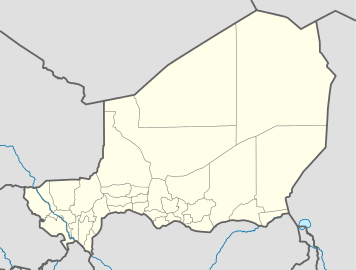 Tenhya Location in Niger | |
| Coordinates: NE 14°07′02″N 8°51′23″E / 14.11722°N 8.85639°E | |
| Country |
|
| Region | Zinder |
| Department | Tanout |
| Population (2010) | |
| • Total | 20,533 |
| Time zone | WAT (UTC+1) |
Tenhya is a village and rural commune in Niger.[1] As of 2010 it had a total population of 20,533 people. Tenhya located in the northern Sahel. The neighboring municipalities are Aderbissinat in the northwest, the northeast Tabelot, Tesker to the east and south and Tarka in the west. The rural community of Tenhya was founded in 2002 as an administrative unit. The main ethnic groups are the Fulani subgroup Wodaabe and the Tuareg subgroups Ichiriffen, Imdan, Inesseliman, Kel Ates, Kel Iferwane and Ifoghas, mainly engaged in pastoral farming.[2]
References
- ↑ Loi n° 2002-014 du 11 JUIN 2002 portant création des communes et fixant le nom de leurs chefs-lieux. Includes list of 213 communes rurales and seats, 52 Communes urbaines and seats
- ↑ Ministère de l’élevage et des industries animales / République du Niger (Hrsg.): La mobilité pastorale dans la Région de Zinder. Stratégies et dynamisme des sociétés pastorales. Niamey 2009
This article is issued from Wikipedia - version of the 3/20/2013. The text is available under the Creative Commons Attribution/Share Alike but additional terms may apply for the media files.