Abalak
| Abalak Ebaka, Ibeka | |
|---|---|
 Abalak and the towns of northwest Niger | |
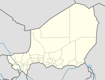 Abalak Location in Niger | |
| Coordinates: 15°27′N 6°17′E / 15.450°N 6.283°E | |
| Country |
|
| Region | Tahoua Region |
| Department | Abalak Department |
| Commune | Abalak Commune |
| Elevation | 145 m (1,345 ft) |
| Population (2011)[1] | |
| • Total | 33,882 |
Abalak (or Abalagh) is a town located in the Tahoua Region, Abalak Department of northern Niger. It is both a town and Commune: a local administrative division. It is the seat (Chef-lieu) of Abalak Department, one of eight subdivisions of Tahoua Region. The town had a population of less than 13,000 at the 2001 census.[1]
Geography
Abalak lies near the northern extremity of the Sahel, bordering the Sahara desert. It also lies along the southern edge of the dry plains and fossilized river valleys which make up the Azawagh. The town itself lies in a seasonal wash — a Kori (Hausa) or Wadi (Arabic) — which retains underground water even during the long dry season.[2][3]
Transport and economy
Abalak lies along a highway, connected to the main Niamey–Tahoua–Agadez–Arlit paved highway just to the northeast of the town. To the south, the local road connects the town of Keita, Niger to the main road network. Abalak is a regional market town, especially for animals raised by pastoral and seasonally nomadic communities in the area. The town is a center for the "Bororo" Wodaabe–Fula people, and also hosts nomadic Tuareg. The town is unusual in this dry region for its fishing industry, dependent upon an artificial lake created by damming the ancient seasonal river valley near the town.[4]
References
- 1 2 Population figures from citypopulation.de, citing (2001) Institut National de la Statistique du Niger.
- ↑ Decalo, Samuel (1997). Historical Dictionary of the Niger (3rd ed.). Boston & Folkestone: Scarecrow Press. ISBN 0-8108-3136-8.
- ↑ Geels, Jolijn (2006). Niger. Chalfont St Peter, Bucks / Guilford, Connecticut: Bradt UK / Globe Pequot Press. ISBN 978-1-84162-152-4.
- ↑ Decalo (1997) p. 15
- Abalak, Niger Page, Falling Rain Genomics, Inc. 1996-2004. Accessed 2009-03-27.
- Peter Chilson. The road from Abalak: heat, wind, dust, fear. in The best American travel writing, 2003. Ian Frazier (ed), introduction. Jason Wilson, series editor. New York : Houghton Mifflin Co., (2003). ISBN 0-618-11881-0
- Louise Dallaire. Les touristes ne vont pas à Abalak. L'ABC de l'édition; 2nd edition (2007) ISBN 978-2-922952-23-0
Abalak
Coordinates: 15°27′N 6°17′E / 15.450°N 6.283°E