Tête Blanche
| Tête Blanche | |
|---|---|
|
View from the summit over the Matterhorn (left) and Dent d'Hérens (right) | |
| Highest point | |
| Elevation | 3,710 m (12,170 ft) |
| Prominence | 153 m (502 ft) [1] |
| Parent peak | Dent d'Hérens |
| Coordinates | 45°59′14.7″N 7°34′29.5″E / 45.987417°N 7.574861°ECoordinates: 45°59′14.7″N 7°34′29.5″E / 45.987417°N 7.574861°E |
| Geography | |
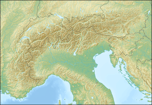 Tête Blanche Location in the Alps | |
| Location |
Valais, Switzerland Aosta Valley, Italy |
| Parent range | Pennine Alps |

Tête Blanche (lit. White Head, from French) is a mountain of the Pennine Alps on the Swiss-Italian border. Its summit (3,710 metres) is the tripoint between the valleys of Hérens, Mattertal (both in Valais) and Valpelline (in the Aosta Valley).
Tête Blanche is generally the high point of the Haute route between Chamonix and Zermatt and the annually race Patrouille des Glaciers. Tête Blanche lies within a few kilometres of the Matterhorn and Dent d'Hérens on the east.
References
External links
This article is issued from Wikipedia - version of the 6/2/2015. The text is available under the Creative Commons Attribution/Share Alike but additional terms may apply for the media files.