Sveta Nedelja, Istria
| Sveta Nedelja | ||
|---|---|---|
| Municipality | ||
| Sveta Nedelja Municipality | ||
| ||
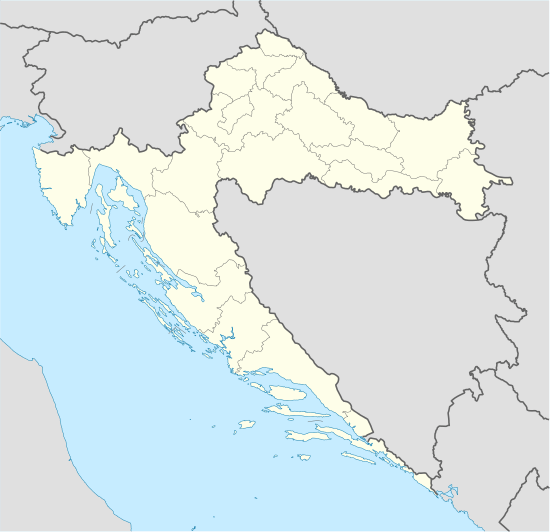 Sveta Nedelja Location of Sveta Nedelja in Croatia | ||
| Coordinates: 45°08′32″N 14°06′41″E / 45.14222°N 14.11139°ECoordinates: 45°08′32″N 14°06′41″E / 45.14222°N 14.11139°E | ||
| Country | Croatia | |
| Area | ||
| • Total | 59,88 km2 (2,312 sq mi) | |
| Population (2011)[1] | ||
| • Total | 2,987 | |
| Time zone | CET (UTC+1) | |
| • Summer (DST) | CEST (UTC+2) | |
| Website | sv-nedelja.hr | |

Sveta Nedelja (Italian: Santa Domenica d'Albona; takes its name from Saint Kyriake = Sancta Dominica) is a municipality of twenty villages in Croatia, total population 2,987 (2011). The three largest villages are municipal seat Nedešćina (604), Štrmac (439) and Šumber (village with castle, 381).
Demography
Municipality Sveta Nedelja
| Population number according census[2] | |||||||||||||||
|---|---|---|---|---|---|---|---|---|---|---|---|---|---|---|---|
| 1857 | 1869 | 1880 | 1890 | 1900 | 1910 | 1921 | 1931 | 1948 | 1953 | 1961 | 1971 | 1981 | 1991 | 2001 | 2011 |
| 2.709 | 2.815 | 3.099 | 3.329 | 3.774 | 4.113 | 5.946 | 6.473 | 4.763 | 4.559 | 4.236 | 3.655 | 3.387 | 3.158 | 2.967 | 2.987 |
Note: Emerged from old Labin municipality. In 1857, 1869, 1921 and 1931 contains part of the data of the town Labin and municipality Raša, while in 1880 only of town Labin. In 1857, 1869, 1921 and 1931 part of the data is contained in municipality Kršan and Raša.
References
- ↑ "Population by Age and Sex, by Settlements, 2011 Census: Sveta Nedelja". Census of Population, Households and Dwellings 2011. Zagreb: Croatian Bureau of Statistics. December 2012.
- ↑ "Naselja i stanovništvo Republike Hrvatske 1857.-2001." (in Croatian). Retrieved 23 December 2014.
External links
Subdivisions of Istria County | ||
|---|---|---|
| Cities and towns |  | |
| Municipalities | ||
This article is issued from Wikipedia - version of the 3/6/2016. The text is available under the Creative Commons Attribution/Share Alike but additional terms may apply for the media files.