Marčana
| Marčana | ||
|---|---|---|
| Municipality | ||
| Marčana Municipality | ||
| ||
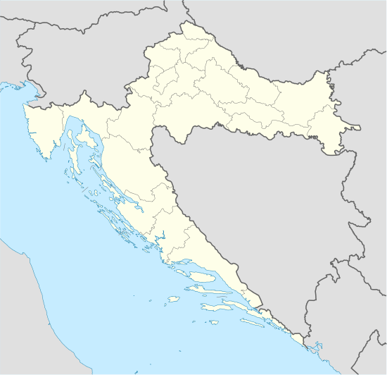 Marčana Location of Marčana in Croatia | ||
| Coordinates: 44°57′N 13°57′E / 44.950°N 13.950°ECoordinates: 44°57′N 13°57′E / 44.950°N 13.950°E | ||
| Country | Croatia | |
| County | Istria | |
| Elevation | 170 m (560 ft) | |
| Time zone | CET (UTC+1) | |
| • Summer (DST) | CEST (UTC+2) | |
| Website | marcana.hr | |

Marčana (Italian: Marzana) is a village and municipality in the southern part of Istria, Croatia, 15 km northeast of Pula; elevation 170 m. Chief occupation is farming. The central part of the village is of a compact type, with a number of isolated houses (called Dvori) in the surroundings. Most of the population descends from a major immigration wave from Mt. Dinara, which was devastated by the plague in the 17th century. The village is situated on the main national highway (M2, E751) Pula - Rijeka.
Ancient ornamental artifacts were found in the area of the village as well as a partition plate with the unique early-Croatian ornamentation style known as Croatian wattle. There is a prehistoric archaeological site on the Ovčjak hill, west of the village, with the ruins of a hill-fort and ancient graves.
Marčana is over 3000 years old. You can find there lots of old houses in the style of the old culture that has ever been there. Walking through the village you see old and damaged houses, but also new and renovated houses. So the old and the new have come together. There are a few small markets in the village, a pizzeria and three local pubs. It's a place to pass by to see the old culture of Croatia.
References
External links
- Marčana Official website
- www.marcana.info Local Information website
- Overall tourist offer of Marcana
Subdivisions of Istria County | ||
|---|---|---|
| Cities and towns |  | |
| Municipalities | ||