Sula, Montana
| Sula, Montana | |
|---|---|
| Census-designated place | |
 Sula | |
| Coordinates: 45°50′11″N 113°58′54″W / 45.83639°N 113.98167°WCoordinates: 45°50′11″N 113°58′54″W / 45.83639°N 113.98167°W | |
| Country | United States |
| State | Montana |
| County | Ravalli |
| Area | |
| • Total | 3.3 sq mi (8.6 km2) |
| • Land | 3.3 sq mi (8.5 km2) |
| • Water | 0.04 sq mi (0.1 km2) |
| Elevation | 4,422 ft (1,348 m) |
| Population (2010) | |
| • Total | 37 |
| • Density | 11/sq mi (4.4/km2) |
| Time zone | Mountain (MST) (UTC-7) |
| • Summer (DST) | MDT (UTC-6) |
| ZIP code | 59871 |
| Area code(s) | 406 |
| FIPS code | 30-71800 |
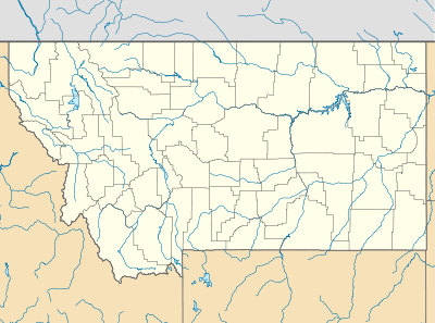
Sula is a census-designated place (CDP) in Ravalli County, Montana, United States. The population was 37 at the 2010 census.[1]
Geography
Sula is located at 45°50′12″N 113°58′54″W / 45.83659°N 113.98175°W, along U.S. Route 93 in southern Ravalli County. It lies along the East Fork of the Bitterroot River at the west end of Ross' Hole, a wide valley surrounded by mountains. It is 35 miles (56 km) north along U.S. 93 to Hamilton, the county seat, and 58 miles (93 km) south over Lost Trail Pass to Salmon, Idaho.
According to the United States Census Bureau, the CDP has a total area of 3.3 square miles (8.6 km2), of which 3.3 square miles (8.5 km2) is land and 0.039 square miles (0.1 km2), or 1.09%, is water.[1]
Climate
This climatic region is typified by large seasonal temperature differences, with warm to hot (and often humid) summers and cold (sometimes severely cold) winters. According to the Köppen Climate Classification system, Sula has a humid continental climate, abbreviated "Dfb" on climate maps.[2]
References
- 1 2 "Geographic Identifiers: 2010 Demographic Profile Data (DP-1): Sula CDP, Montana". U.S. Census Bureau, American Factfinder. Retrieved March 22, 2013.
- ↑ Climate Summary for Sula, Montana
Municipalities and communities of Ravalli County, Montana, United States | ||
|---|---|---|
| City | 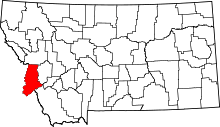 | |
| Towns | ||
| CDPs | ||
| Other communities | ||