Stagsden
| Stagsden | |
 Stagsden |
|
| Population | 354 [1] 363 (2011 Census)[2] |
|---|---|
| OS grid reference | SP981489 |
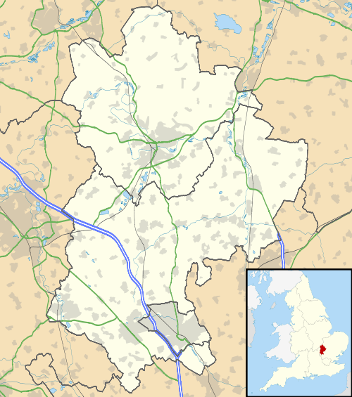
| Unitary authority | Bedford |
| Ceremonial county | Bedfordshire |
| Region | East |
| Country | England |
| Sovereign state | United Kingdom |
| Post town | Bedford |
| Postcode district | MK43 |
| Dialling code | 01234 |
| Police | Bedfordshire |
| Fire | Bedfordshire and Luton |
| Ambulance | East of England |
| EU Parliament | East of England |
| UK Parliament | Mid Bedfordshire |
|
|
Coordinates: 52°07′47″N 0°33′58″W / 52.129719°N 0.565973°W
Stagsden is a small but historic village and civil parish located in northwest Bedfordshire, near the Buckinghamshire border. Situated on the main route between nearby Bedford and Milton Keynes, the village was bypassed by the A422 in April 1992, to allow the increasing amount of traffic to avoid the 30&mph speed limit in Stagsden.
The village has at its centre St. Leonard's Church, where High Street, Bedford Road and Church Lane all meet. Toward the western end of the village, along High Street, is the Royal George pub and the Village Hall (formerly the primary school). The village's history is well preserved, and several millennium projects centred on such preservation for future generations.
In 2000, Stagsden acquired two new additions to village life. A Millennium bench was put in place at the corner of Bedford Road and the High Street, and Bedfordshire Golf Club opened its newly built course on the hillside facing the village, on the other side of the A422.
A latecomer to the 21st century is the village sign, next to the church, which is a quintessentially rural affair and is rather splendid.
For electoral purposes the village is part of Turvey ward and is represented on Bedford Borough Council by Mark Smith, elected in May 2007.
Half a mile east of Stagsden and inside the parish boundary is Hanger Wood, an ancient woodland and Site of Special Scientific Interest.[3]
References
- ↑ "Neighbourhood Statistics - Stagsden (CP) Parish". Office for National Statistics. Retrieved 2008-02-04.
- ↑ "Civil Parish population 2011". Neighbourhood Statistics. Office for National Statistics. Retrieved 12 November 2016.
- ↑ "Description and Reasons for Notification of Hanger Wood". Natural England. September 1988. Archived from the original (PDF) on 11 January 2014. Retrieved 11 January 2014.
| Wikimedia Commons has media related to Stagsden. |