South Slave Region
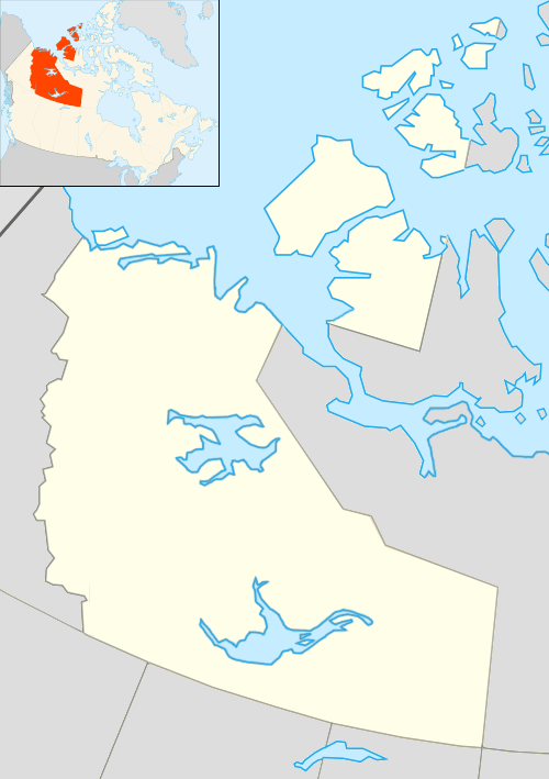
South Slave Region communities in the Northwest Territories
The South Slave Region is one of five administrative regions in the Northwest Territories of Canada. The region consists of seven communities with the regional offices situated in Fort Smith and Hay River. With the exception of Enterprise and Hay River the communities are predominantly First Nations.
Communities
The South Slave Region includes the following communities:
| Community name[1] | Translation[1] | Governance[2] | Population 2011[3] |
% change from 2006 |
Location |
| Enterprise[4] | Hamlet | 87 | 10.3% | 60°33′24″N 116°08′34″W / 60.55667°N 116.14278°W | |
| Fort Resolution[5] | Deninoo Kue; moose island | Community Council (Deninoo) | 474 | -2.1% | 61°10′18″N 113°40′18″W / 61.17167°N 113.67167°W |
| Fort Smith[6] | Thebacha; beside the rapids | Town | 2,093 | -11.5% | 60°00′19″N 111°53′26″W / 60.00528°N 111.89056°W |
| Hay River Reserve[7] | Xátå'odehchee; Hay River | K'atlodeechee First Nation | 292 | -5.5% | 60°50′01″N 115°45′57″W / 60.83361°N 115.76583°W |
| Hay River[8] | Xátå'odehchee; Hay River | Town | 3,606 | -1.2% | 60°49′59″N 115°46′40″W / 60.83306°N 115.77778°W |
See also
References
- 1 2 "Northwest Territories Official Community Names and Pronunciation Guide". Prince of Wales Northern Heritage Centre. Yellowknife: Education, Culture and Employment, Government of the Northwest Territories. Archived from the original on 2016-01-13. Retrieved 2016-01-13.
- ↑ Differences in Community Government Structures
- ↑ Canada Census 2011
- ↑ "NWT Communities - Enterprise". Government of the Northwest Territories: Department of Municipal and Community Affairs. Retrieved 2014-01-29.
- ↑ "NWT Communities - Fort Resolution". Government of the Northwest Territories: Department of Municipal and Community Affairs. Retrieved 2014-01-29.
- ↑ "NWT Communities - Fort Smith". Government of the Northwest Territories: Department of Municipal and Community Affairs. Retrieved 2014-01-29.
- ↑ "NWT Communities - Hay River Reserve". Government of the Northwest Territories: Department of Municipal and Community Affairs. Retrieved 2014-01-29.
- ↑ "NWT Communities - Hay River". Government of the Northwest Territories: Department of Municipal and Community Affairs. Retrieved 2014-01-29.
| Census divisions | |||||||||||
|---|---|---|---|---|---|---|---|---|---|---|---|
| Former census divisions | |||||||||||
| Dehcho Region |
| ||||||||||
| Inuvik Region |
| ||||||||||
| North Slave Region |
| ||||||||||
| Sahtu Region |
| ||||||||||
| South Slave Region |
| ||||||||||
| Weather stations (outside of communities) | |||||||||||
| Mine sites |
| ||||||||||
| DEW line and NWS sites |
| ||||||||||
| Hudson's Bay Company trading posts | |||||||||||
| Former districts |
| ||||||||||
| |||||||||||
Coordinates: 60°00′19″N 111°53′26″W / 60.00528°N 111.89056°W
This article is issued from Wikipedia - version of the 9/4/2016. The text is available under the Creative Commons Attribution/Share Alike but additional terms may apply for the media files.