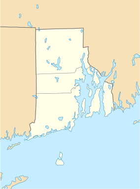
South Main Street Historic District (Coventry, Rhode Island)
|
South Main Street Historic District | |
|
Stillwater Mill building | |
  | |
| Location | Coventry, Rhode Island |
|---|---|
| Coordinates | 41°41′17″N 71°34′3″W / 41.68806°N 71.56750°WCoordinates: 41°41′17″N 71°34′3″W / 41.68806°N 71.56750°W |
| Architect | Unknown |
| Architectural style | Greek Revival, Federal |
| NRHP Reference # | 87001064 [1] |
| Added to NRHP | July 10, 1987 |
The South Main Street Historic District is a historic district in Coventry, Rhode Island. It extends along South Main Street from its crossing of the South Branch of the Pawtuxet River in the north, to just below Wood Street in the south, and includes a few properties on immediately adjacent streets. The area is almost entire residential, and was developed in the 19th century, providing housing for middle-class workers not directly affiliated with the mills that lined the river. About half the houses were built before 1850, and exhibit either Federal or Greek Revival styling, while most of the remaining houses were built before 1920. The principal non-residential structures are a VFW hall, which began as a mid-19th century residential structure associated with Rhode Island's prominent Whipple family, the Stillwater Company mill at the northern end of the district (1914), and the three-room Cady Street Schoolhouse (1844).[2]
The area was added to the National Register of Historic Places in 1987.[1]
See also
| Wikimedia Commons has media related to South Main Street Historic District (Coventry, Rhode Island). |
References
- 1 2 National Park Service (2007-01-23). "National Register Information System". National Register of Historic Places. National Park Service.
- ↑ "NRHP nomination for South Main Street Historic District" (PDF). Rhode Island Preservation. Retrieved 2014-07-31.
