Serranía de las Minas
| Serranía de las Minas | |
|---|---|
 Serranía de las Minas | |
| Highest point | |
| Elevation | 2,700 m (8,900 ft) |
| Coordinates | 2°09′36″N 76°10′055″W / 2.16000°N 76.18194°WCoordinates: 2°09′36″N 76°10′055″W / 2.16000°N 76.18194°W |
| Dimensions | |
| Area | 156 km2 (60 sq mi) |
| Geography | |
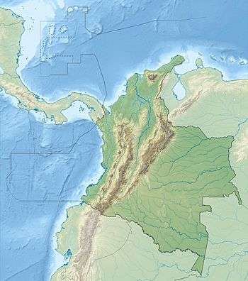
| Country | Colombia |
| State/Province | Huila |
The Serranía de las Minas is a mountainous region in the Central Andes near Puracé National Natural Park in the Department of Huila of Colombia. This area gives rise to the waters of the Magdalena River. It is proposed as a Flora and Fauna Sanctuary for the existence of primary montane forest and habitat for many important species of amphibians, mammals, and birds.[1]
Geography
The mountains are located within the municipalities of Tarqui, La Plata, La Argentina, El Pital, and Oporapa and encompasses an area of approximately 156 square kilometres (60 sq mi). The highest mountain peaks reach up to 2,700 metres (8,900 ft).[2]
References
Mountain Ranges of Colombia | ||||||||||||||||
|---|---|---|---|---|---|---|---|---|---|---|---|---|---|---|---|---|
| Colombian Andes |
| .svg.png) | ||||||||||||||
| Isolated Ranges | ||||||||||||||||
This article is issued from Wikipedia - version of the 3/24/2016. The text is available under the Creative Commons Attribution/Share Alike but additional terms may apply for the media files.