Serranía de Macuira
| Serrania de Macuira | |
|---|---|
 | |
| Highest point | |
| Peak | Cerro Paluou |
| Elevation | 864 m (2,835 ft) |
| Geography | |
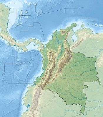
| Country | Colombia |
| State/Province | La Guajira |
| Range coordinates | 12°10′00″N 71°20′00″W / 12.1667°N 71.3333°WCoordinates: 12°10′00″N 71°20′00″W / 12.1667°N 71.3333°W |

Serranía de Macuira is a mountain range in northern Colombia located in the municipality of Uribia, Guajira Peninsula and part of the La Guajira Department. The Serrania de Macuira stands in the middle of the La Guajira Desert at 864 m (2,835 ft) [1] isolated from the Sierra Nevada de Santa Marta and the East Andes of the Colombian Andes. The area is protected as the PNN Macuira.
The Serranía de Macuira measures some 35 km in longitude and 10 km wide, at some 10 km from the Caribbean sea. The range is made up of three mountain massifs interconnected; the highest being Cerro Paluou (864 m (2,835 ft)), Cerro de Jibome (753 m (2,470 ft)) covering a total area of 250 km2 (97 sq mi). The area is home to numerous fauna and flora species and due its relatively high humidity caused by the trade winds and its proximity to the Caribbean sea it presents a forest of dwarf trees and cloud forests.[2] Frog Allobates wayuu is only known from the Serranía de Macuira.[3]
References
- ↑ Serranía de Macuira, Colombia "Peak Bagger" Check
|url=value (help). - ↑ (Spanish) National Natural Parks of Colombia National Natural Parks of Colombia Accessed 20 August 2007.
- ↑ Frost, Darrel R. (2014). "Allobates wayuu (Acosta-Galvis, Cuentas, and Coloma, 1999)". Amphibian Species of the World: an Online Reference. Version 6.0. American Museum of Natural History. Retrieved 8 June 2014.
External links
Mountain Ranges of Colombia | ||||||||||||||||
|---|---|---|---|---|---|---|---|---|---|---|---|---|---|---|---|---|
| Colombian Andes |
| .svg.png) | ||||||||||||||
| Isolated Ranges | ||||||||||||||||