Semo La
| Semo La | |
|---|---|
 | |
| Elevation | 5,565 m (18,258 ft) |
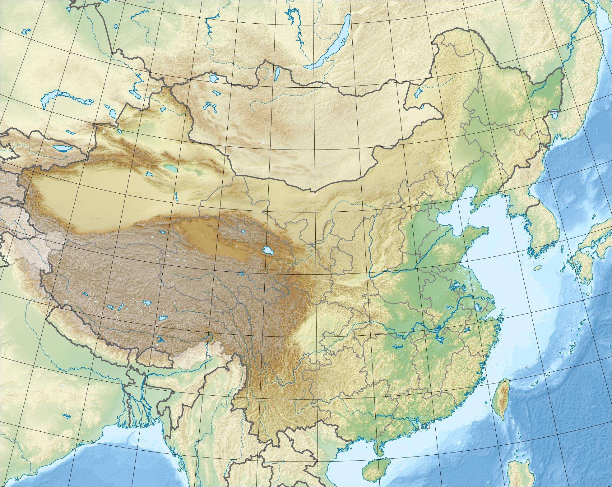
| Location | China |
| Coordinates | 30°06′36″N 85°25′54″E / 30.11000°N 85.43167°ECoordinates: 30°06′36″N 85°25′54″E / 30.11000°N 85.43167°E |
Semo La (La means "pass" in Tibetan) is a mountain pass situated in the central part of Tibet and gives access to the Chang Tang region. It is found on the so-called Northern Route, north of Raka and south of Coqen in Central Tibet. Travellers use this route as an alternative access route to western Tibet and Mount Kailash, especially when mud makes access by the more southern route difficult.
The road crossing the pass is an old unsurfaced track travelled only by a weekly bus and trucks heading west to avoid the boggy parts of the south of the country.
At 5,565 metres (18,258 ft), Semo La may be the highest vehicle-accessible pass in the world. It is the highest that has been measured accurately. Khardung La, up to now thought to be the world record holder at 5,602 metres (18,379 ft), in reality, according to modern surveys, measures 5,359 m (17,582 ft), 243 m (797 ft) less than previously thought. There are other passes that may be higher but have yet to be surveyed properly and may not reasonably be considered "motorable".
Elevation
The height of 5,565 m (18,258 ft) was calculated in 2005 by a team of researchers conducting a modern GPS survey. It accurately matches NASA SRTM data and is consistent with GPS measurements shown here.
External links
- Summary of the Catalan expedition
- Document supplied by the Catalan Institute of Cartography
- Local SRTM data