San Pedro Airport
This article is about the airport in Belize. For the airport in Côte D'Ivoire, see San Pédro Airport. For the airport in Nicaragua, see San Pedro Airport (Nicaragua).
| San Pedro Airport | |||||||||||
|---|---|---|---|---|---|---|---|---|---|---|---|
| IATA: SPR – ICAO: none | |||||||||||
| Summary | |||||||||||
| Airport type | Public | ||||||||||
| Location | San Pedro, Belize | ||||||||||
| Hub for | Tropic Air | ||||||||||
| Elevation AMSL | 1 m / 3 ft | ||||||||||
| Coordinates | 17°54′50″N 087°58′16″W / 17.91389°N 87.97111°WCoordinates: 17°54′50″N 087°58′16″W / 17.91389°N 87.97111°W | ||||||||||
| Map | |||||||||||
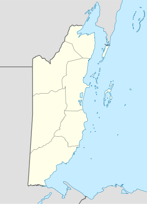 San Pedro Airport Location in Belize | |||||||||||
| Runways | |||||||||||
| |||||||||||
San Pedro Airport (IATA: SPR) is an airport that serves San Pedro and Ambergris Caye, Belize. The airport has maintenance and terminal facilities as well as paved and marked runway.
Scheduled service
Charter service
- Astrum Helicopters (On demand helicopter charters in Belize)
See also
 Belize portal
 Aviation portal
- List of airports in Belize
References
- ↑ Airport information for MZ10 at World Aero Data. Data current as of October 2006.Source: DAFIF.
- ↑ Airport information for SPR at Great Circle Mapper.
- ↑ Google Maps - San Pedro
This article is issued from Wikipedia - version of the 12/4/2016. The text is available under the Creative Commons Attribution/Share Alike but additional terms may apply for the media files.