Manatee Airport
| Manatee Airport | |||||||||||
|---|---|---|---|---|---|---|---|---|---|---|---|
| IATA: MZE – ICAO: none | |||||||||||
| Summary | |||||||||||
| Airport type | Public | ||||||||||
| Serves | Manatee | ||||||||||
| Location |
| ||||||||||
| Coordinates | 17°16′42.3″N 089°1′25.6″W / 17.278417°N 89.023778°WCoordinates: 17°16′42.3″N 089°1′25.6″W / 17.278417°N 89.023778°W | ||||||||||
| Map | |||||||||||
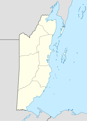 MZE Location of Manatee Airport in Belize | |||||||||||
| Runways | |||||||||||
| |||||||||||
Manatee Airport (IATA: MZE) is a public use airport located near Manatee, Cayo District, Belize.
See also
References
- ↑ Airport record for Manatee Airport at Landings.com. Retrieved 2013-09-02
- ↑ Google (2013-09-02). "location of Manatee Airport" (Map). Google Maps. Google. Retrieved 2013-09-02.
External links
- Airport record for Manatee Airport at Landings.com
This article is issued from Wikipedia - version of the 11/9/2016. The text is available under the Creative Commons Attribution/Share Alike but additional terms may apply for the media files.