Independence Airport (Belize)
| Independence Airport | |||||||||||
|---|---|---|---|---|---|---|---|---|---|---|---|
| IATA: INB – ICAO: none | |||||||||||
| Summary | |||||||||||
| Airport type | Public | ||||||||||
| Serves | Independence | ||||||||||
| Location |
| ||||||||||
| Elevation AMSL | 18 ft / 5 m | ||||||||||
| Coordinates | 16°32′04.5″N 088°26′29.4″W / 16.534583°N 88.441500°WCoordinates: 16°32′04.5″N 088°26′29.4″W / 16.534583°N 88.441500°W | ||||||||||
| Map | |||||||||||
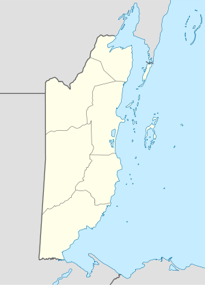 INB Location of Independence Airport in Belize | |||||||||||
| Runways | |||||||||||
| |||||||||||
Independence Airport (IATA: INB), also known as Savannah Airport or Mango Creek Airport, is a public use airport located 1 kilometre (0.62 mi) west of Independence, Toledo District, Belize.
Scheduled Service
| Airlines | Destinations |
|---|---|
| Maya Island Air | Belize International, Belize Municipal, Caye Caulker, Caye Chapel, Corozal, Dangriga, Placencia, Punta Gorda, San Pedro Ambergris Caye |
| Tropic Air | San Pedro |
See also
References
- ↑ Airport record for Independence Airport at Landings.com. Retrieved 2013-09-02
- ↑ Google (2013-09-02). "location of Independence Airport" (Map). Google Maps. Google. Retrieved 2013-09-02.
External links
- Airport record for Independence Airport at Landings.com
This article is issued from Wikipedia - version of the 11/8/2016. The text is available under the Creative Commons Attribution/Share Alike but additional terms may apply for the media files.