Saint-Pathus
| Saint-Pathus | |
|---|---|
 Saint-Pathus | |
|
Location within Île-de-France region 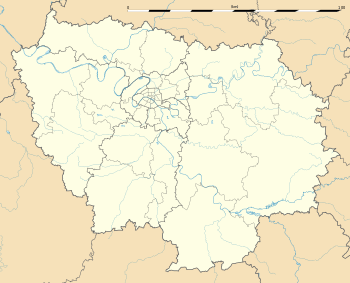 Saint-Pathus | |
| Coordinates: 49°04′N 2°48′E / 49.07°N 2.8°ECoordinates: 49°04′N 2°48′E / 49.07°N 2.8°E | |
| Country | France |
| Region | Île-de-France |
| Department | Seine-et-Marne |
| Arrondissement | Meaux |
| Canton | Dammartin-en-Goële |
| Intercommunality | Pays de la Goële et du Multien |
| Government | |
| • Mayor (2008–2014) | Jean-Benoît Pinturier |
| Area1 | 5.36 km2 (2.07 sq mi) |
| Population (2006)2 | 5,309 |
| • Density | 990/km2 (2,600/sq mi) |
| Time zone | CET (UTC+1) |
| • Summer (DST) | CEST (UTC+2) |
| INSEE/Postal code | 77430 / 77178 |
| Elevation | 89–113 m (292–371 ft) |
|
1 French Land Register data, which excludes lakes, ponds, glaciers > 1 km² (0.386 sq mi or 247 acres) and river estuaries. 2 Population without double counting: residents of multiple communes (e.g., students and military personnel) only counted once. | |
Saint-Pathus is a commune in the Seine-et-Marne department in the Île-de-France region in north-central France.
Saint-Pathus is contiguous with Oissery.
Demographics
Inhabitants of Saint-Pathus are called Saint-Pathusiens.
See also
References
External links
| Wikimedia Commons has media related to Saint-Pathus. |
- 1999 Land Use, from IAURIF (Institute for Urban Planning and Development of the Paris-Île-de-France région) (English)
- Map of Saint-Pathus on Michelin (English)
This article is issued from Wikipedia - version of the 11/19/2014. The text is available under the Creative Commons Attribution/Share Alike but additional terms may apply for the media files.