Amillis
| Amillis | |
|---|---|
 Amillis | |
|
Location within Île-de-France region 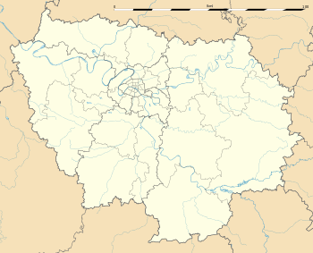 Amillis | |
| Coordinates: 48°44′25″N 3°07′50″E / 48.7403°N 3.1306°ECoordinates: 48°44′25″N 3°07′50″E / 48.7403°N 3.1306°E | |
| Country | France |
| Region | Île-de-France |
| Department | Seine-et-Marne |
| Arrondissement | Provins |
| Canton | La Ferté-Gaucher |
| Intercommunality | Trois Rivières |
| Government | |
| • Mayor (2008–2014) | André Olivier |
| Area1 | 20.06 km2 (7.75 sq mi) |
| Population (2012)2 | 797 |
| • Density | 40/km2 (100/sq mi) |
| Time zone | CET (UTC+1) |
| • Summer (DST) | CEST (UTC+2) |
| INSEE/Postal code | 77002 / 77120 |
| Elevation | 102–163 m (335–535 ft) |
|
1 French Land Register data, which excludes lakes, ponds, glaciers > 1 km² (0.386 sq mi or 247 acres) and river estuaries. 2 Population without double counting: residents of multiple communes (e.g., students and military personnel) only counted once. | |
Amillis is a commune in the Seine-et-Marne department in the Île-de-France region in north-central France.
Geography
The village lies in the middle of the commune, on the right bank of the Aubetin, which flows northwestward through the commune.
Demographics
The inhabitants are Amilissiens.
See also
References
External links
| Wikimedia Commons has media related to Amillis. |
- 1999 Land Use, from IAURIF (Institute for Urban Planning and Development of the Paris-Île-de-France région) (English)
- French Ministry of Culture site for Amillis (French)
- Map of Amillis on Michelin (English)
This article is issued from Wikipedia - version of the 10/11/2016. The text is available under the Creative Commons Attribution/Share Alike but additional terms may apply for the media files.