Rougemont, Quebec
| Rougemont | |
|---|---|
| Municipality | |
|
Mont Rougemont looms over the surrounding region | |
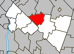 Location within Rouville RCM | |
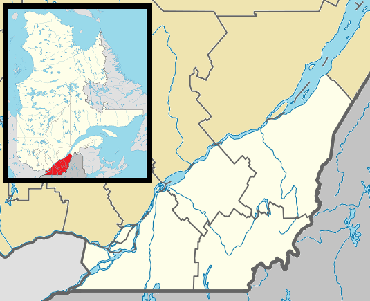 Rougemont Location in southern Quebec | |
| Coordinates: 45°26′N 73°03′W / 45.433°N 73.050°WCoordinates: 45°26′N 73°03′W / 45.433°N 73.050°W[1] | |
| Country |
|
| Province |
|
| Region | Montérégie |
| RCM | Rouville |
| Constituted | January 26, 2000 |
| Government[2][3] | |
| • Mayor | Alain Brière |
| • Federal riding | Shefford |
| • Prov. riding | Iberville |
| Area[2][4] | |
| • Total | 44.50 km2 (17.18 sq mi) |
| • Land | 43.90 km2 (16.95 sq mi) |
| Population (2011)[4] | |
| • Total | 2,723 |
| • Density | 62.0/km2 (161/sq mi) |
| • Pop 2006-2011 |
|
| • Dwellings | 1,066 |
| Time zone | EST (UTC−5) |
| • Summer (DST) | EDT (UTC−4) |
| Postal code(s) | J0L 1M0 |
| Area code(s) | 450 and 579 |
| Highways |
|
| Website |
www |

Rougemont is a municipality in the Canadian province of Quebec. The population as of the Canada 2011 Census was 2,723. It is located within the Rouville Regional County Municipality in the Montérégie region about 18 kilometers southwest of Saint-Hyacinthe.
Rougemont is well known for its apple orchards and sugar shacks. It is also the location of Mont Rougemont and Rougemont Airport.
Demographics
PopulationPopulation trend:[5]
(+) Amalgamation of the Parish of Saint-Michel-de-Rougemont and the Village of Rougemont on January 26, 2000. |
LanguageMother tongue language (2006)[6]
|
Education
The South Shore Protestant Regional School Board previously served the municipality.[7]
See also
References
- ↑ Reference number 359260 of the Commission de toponymie du Québec (French)
- 1 2 Ministère des Affaires municipales, des Régions et de l'Occupation du territoire: Rougemont
- ↑ Parliament of Canada Federal Riding History: SHEFFORD (Quebec)
- 1 2 2011 Statistics Canada Census Profile: Rougemont, Quebec
- ↑ Statistics Canada: 1996, 2001, 2006, 2011 census
- ↑ 2006 Statistics Canada Community Profile: Rougemont, Quebec
- ↑ King, M.J. (Chairperson of the board). "South Shore Protestant Regional School Board" (St. Johns, PQ). The News and Eastern Townships Advocate. Volume 119, No. 5. Thursday December 16, 1965. p. 2. Retrieved from Google News on November 23, 2014.
External links
 Media related to Rougemont, Quebec at Wikimedia Commons
- Official website - www.rougemont.ca
- Rougemont and its Region
- Tourisme Rougemont
 |
Saint-Jean-Baptiste | Saint-Damase | | |
| Marieville | |
Saint-Césaire | ||
| ||||
| | ||||
| Sainte-Angèle-de-Monnoir |
| Cities | |
|---|---|
| Municipalities | |
| |
This article is issued from Wikipedia - version of the 11/2/2016. The text is available under the Creative Commons Attribution/Share Alike but additional terms may apply for the media files.