Raybag
| Raybag ರಾಯಬಾಗ್ Raibag | |
|---|---|
| town/taluka | |
| Nickname(s): Bagi ur | |
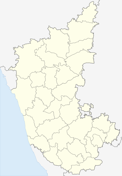
 Raybag  Raybag Location in Karnataka, India | |
| Coordinates: 16°29′N 74°47′E / 16.48°N 74.78°ECoordinates: 16°29′N 74°47′E / 16.48°N 74.78°E | |
| Country |
|
| State | Karnataka |
| District | Belgaum |
| Government | |
| • Body | Nagar Palika |
| Elevation | 590 m (1,940 ft) |
| Population (2011) | |
| • Total | 18,984 |
| Languages | |
| • Official | [[ಕನ್ನಡ][Kannada]] |
| Time zone | IST (UTC+5:30) |
| ISO 3166 code | IN-KA |
| Vehicle registration | KA23 |
| Website |
karnataka |
Raybag (Kannada Rayabag) is a panchayat town and taluka in Belgaum district in the Indian state of Karnataka.
Geography
Raybag is located at 16°29′N 74°47′E / 16.48°N 74.78°E.[1] It has an average elevation of 590 metres (1935 feet). This place is underdeveloped and is famous for its rich agriculture produce of banana and sugarcane.It has very old railway station which was made by Britishers to keep control on this territory which they used for military administrating office.
Demographics
As of 2011 India census,[2] Raybag had a population of 18,984. Males constitute 52% of the population and females 48%. Raybag has an average literacy rate of 68%, higher than the national average of 59.5%: male literacy is 75%, and female literacy is 60%. In Raybag, 14% of the population is under 6 years of age.
References
- ↑ Falling Rain Genomics, Inc - Raybag
- ↑ "Census of India 2001: Data from the 2001 Census, including cities, villages and towns (Provisional)". Census Commission of India. Archived from the original on 2004-06-16. Retrieved 2008-11-01.