Pačetin
| Pačetin Пачетин (Serbian)[1][2] | |
|---|---|
 | |
  | |
 Pačetin | |
| Coordinates: HR 45°22′34″N 18°51′04″E / 45.376°N 18.851°E | |
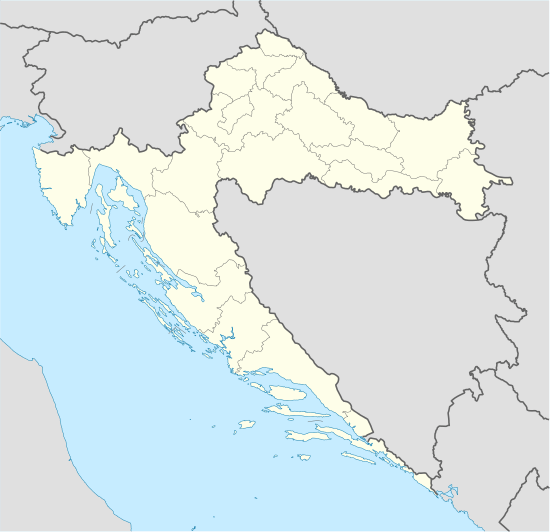
| Country |
|
| County |
|
| Municipality | Trpinja |
| Population [3] | |
| • Total | 541 |
| • Households | 202 |
| Postal code | 32222 Bršadin |
| Area code(s) | +385 32 |
| Vehicle registration | VU |
Pačetin (Serbian Cyrillic: Пачетин)[4] is a village in the municipality of Trpinja, Vukovar-Srijem County, easternmost Croatia. The population is 541 (census 2011).[3] It is located between Vukovar and Vinkovci.
Education

Branch school of Elementary school Bobota is located in Pačetin, 4,4 kilometers away from mother school in Bobota.[5] Education at local school is implemented in Serbian language.[6] The school building have two classrooms, a kitchen, bathroom and central heating on electrical energy.[5]
Population
History of the number of inhabitants 1857.-2001.[7] + Census 2011[3]

According to the 1991 census, the village was inhabited by a majority of Serbs (88,48%), and minority of Yugoslavs (6,93%) and Croats (3,17%%).[8]
Associations and Institutions
Cultural and Artistic Association Branko Radičević is active in village since 1999.[9] Local drama group, children drama group and reciting section are active as a part of Association.[9] They are organizers of MESDI-International Meetings of Drama Amateurs and Saint Sava Oration.[9]
Sport
- Football club NK Sloga Pačetin
- Chess club "Šahovski klub Sloga Pačetin"
Notable natives and residents
Gallery


See also
References
| Wikimedia Commons has media related to Pačetin. |
- ↑ "Statut Općine Trpinja" (PDF). Retrieved 25 May 2015.
- ↑ Government of Croatia (October 2013). "Peto izvješće Republike Hrvatske o primjeni Europske povelje o regionalnim ili manjinskim jezicima" (PDF) (in Croatian). Council of Europe. p. 36. Retrieved 30 November 2016.
- 1 2 3 "Population by Age and Sex, by Settlements, 2011 Census: Pačetin". Census of Population, Households and Dwellings 2011. Zagreb: Croatian Bureau of Statistics. December 2012.
- ↑ "Minority names in Croatia:Registar Geografskih Imena Nacionalnih Manjina Republike Hrvatske" (PDF). Retrieved 2013-03-08.
- 1 2 "Osnovna škola Bobota-o školi". Retrieved 2 August 2015.
- ↑ Popis osnovnih i srednjih škola s nastavom na jeziku i pismu nacionalnih manjina po modelu A, školska godina 2011./2012., Ministarstvo znanosti obrazovanja i sporta
- ↑ Naselja i stanovništvo Republike Hrvatske 1857.-2001., Croatian Bureau of Statistics
- ↑ "попис становништва 1991" (PDF). Савезни завод за статистику и евиденцију ФНРЈ и СФРЈ.
- 1 2 3 "Općina Trpinja-Kulturna udruženja". Retrieved 2 August 2015.
Trpinja Municipality | ||
|---|---|---|
| Settlements |  | |
| Attractions | ||
| Traffic routes | ||
Settlements of Joint Council of Municipalities | ||
|---|---|---|
| Vukovar-Syrmia County |  | |
| Osijek-Baranja County |
| |
Coordinates: 45°22′N 18°51′E / 45.367°N 18.850°E