Oxelösund Municipality
| Oxelösund Municipality Oxelösunds kommun | ||
|---|---|---|
| Municipality | ||
|
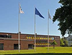
Oxelösund City Hall in June 2013 | ||
| ||
 | ||
| Country | Sweden | |
| County | Södermanland County | |
| Seat | Oxelösund | |
| Area[1] | ||
| • Total | 746.54 km2 (288.24 sq mi) | |
| • Land | 35.39 km2 (13.66 sq mi) | |
| • Water | 711.15 km2 (274.58 sq mi) | |
| Area as of January 1, 2014. | ||
| Population (June 30, 2016)[2] | ||
| • Total | 11,752 | |
| • Density | 16/km2 (41/sq mi) | |
| Time zone | CET (UTC+1) | |
| • Summer (DST) | CEST (UTC+2) | |
| ISO 3166 code | SE | |
| Province | Södermanland | |
| Municipal code | 0481 | |
| Website | www.oxelosund.se | |

Oxelösund Municipality (Oxelösunds kommun) is a municipality in Södermanland County in southeast Sweden. Its seat is located in the city of Oxelösund.
In 1950 the Nikolai Rural municipality was dissolved. One part formed the then City of Oxelösund, one of the last newly created cities of Sweden. The rest of Nikolai was incorporated into the neighbouring City of Nyköping. In 1971 the city became a unitary municipality without addition of territory, and it is with its 35.75 square kilometres (13.80 sq mi) one of Sweden's smallest municipalities.
Geography
It covers a peninsula in the Baltic Sea, and borders by land only to Nyköping Municipality.
Still marked by its industrial past, the politics is dominated by the Social Democratic Party, and the industry by the harbour and iron works.
International relations
Twin towns - Sister cities
Oxelösund is a member of the Douzelage, a unique town twinning association of 24 towns across the European Union. This active town twinning began in 1991 and there are regular events, such as a produce market from each of the other countries and festivals.[3][4] Discussions regarding membership are also in hand with three further towns (Agros in Cyprus, Škofja Loka in Slovenia, and Tryavna in Bulgaria).
 Altea, Spain - 1991
 Bad Kötzting, Germany - 1991
 Bellagio, Italy - 1991
 Bundoran, Ireland - 1991
 Granville, France - 1991
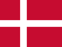 Holstebro, Denmark - 1991
.svg.png) Houffalize, Belgium - 1991
Houffalize, Belgium - 1991 Meerssen, the Netherlands - 1991
 Niederanven, Luxembourg - 1991
 Preveza, Greece - 1991
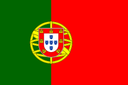 Sesimbra, Portugal - 1991
 Sherborne, United Kingdom - 1991
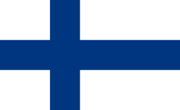 Karkkila, Finland - 1997
 Oxelösund, Sweden - 1998
 Judenburg, Austria - 1999
 Chojna, Poland - 2004
 Kőszeg, Hungary - 2004
 Sigulda, Latvia - 2004
 Sušice, Czech Republic - 2004
 Türi, Estonia - 2004
 Zvolen, Slovakia - 2007
 Prienai, Lithuania - 2008
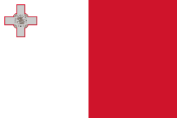 Marsaskala, Malta - 2009
 Siret, Romania - 2010
References
- ↑ "Statistiska centralbyrån, Kommunarealer den 1 januari 2014" (Microsoft Excel) (in Swedish). Statistics Sweden. Retrieved 2014-04-18.
- ↑ "Folkmängd i riket, län och kommuner 30 juni 2016" (in Swedish). Statistics Sweden. August 17, 2016. Retrieved August 17, 2016.
- ↑ "Douzelage.org: Home". www.douzelage.org. Retrieved 2009-10-21.
- ↑ "Douzelage.org: Member Towns". www.douzelage.org. Retrieved 2009-10-21.
External links
- Oxelösund Municipality - Official site
Municipalities and seats of Södermanland County | ||
|---|---|---|
| Municipalities | ||
| Municipal seats | ||
Coordinates: 58°40′N 17°07′E / 58.667°N 17.117°E