Karkkila
| Karkkila Karkkila – Högfors | ||
|---|---|---|
| Town | ||
| Karkkilan kaupunki – Högfors stad | ||
|
Road Helsingintie in town centre | ||
| ||
 Location of Karkkila in Finland | ||
| Coordinates: 60°32′N 024°13′E / 60.533°N 24.217°ECoordinates: 60°32′N 024°13′E / 60.533°N 24.217°E | ||
| Country | Finland | |
| Region | Uusimaa | |
| Sub-region | Helsinki sub-region | |
| Charter | 1932 | |
| Town | 1977 | |
| Government | ||
| • City manager | Minna Karhunen | |
| Area (2011-01-01)[1] | ||
| • Total | 255.31 km2 (98.58 sq mi) | |
| • Land | 242.36 km2 (93.58 sq mi) | |
| • Water | 12.95 km2 (5.00 sq mi) | |
| Area rank | 287th largest in Finland | |
| Population (2016-03-31)[2] | ||
| • Total | 8,966 | |
| • Rank | 116th largest in Finland | |
| • Density | 36.99/km2 (95.8/sq mi) | |
| Population by native language[3] | ||
| • Finnish | 96.1% (official) | |
| • Swedish | 0.7% | |
| • Others | 3.2% | |
| Population by age[4] | ||
| • 0 to 14 | 16.8% | |
| • 15 to 64 | 65.3% | |
| • 65 or older | 17.9% | |
| Time zone | EET (UTC+2) | |
| • Summer (DST) | EEST (UTC+3) | |
| Municipal tax rate[5] | 20.25% | |
| Urbanisation | 88.4% | |
| Unemployment rate | 7.8% | |
| Climate | Dfb | |
| Website | www.karkkila.fi | |


Karkkila (Finnish pronunciation: [ˈkɑrkːilɑ]; Swedish: Högfors) is a town and a municipality of Finland.
Geography
It is located in the province of Southern Finland and is part of the Uusimaa region. The municipality has a population of 8,966 (31 March 2016)[2] and the municipality covers an area of 255.31 square kilometres (98.58 sq mi) of which 12.95 square kilometres (5.00 sq mi) is inland water (2011-01-01).[1] The population density is 37 inhabitants per square kilometre (96/sq mi) (31 March 2016).
The municipality is unilingually Finnish.
Politics
Results of the Finnish parliamentary election, 2011 in Karkkila:
- True Finns 25.2%
- Social Democratic Party 20.7%
- National Coalition Party 16.6%
- Left Alliance 14.8%
- Centre Party 9.2%
- Green League 7.2%
- Christian Democrats 3.8%
- Communist Party of Finland 0.6%
- Swedish People's Party 0.5%
Personalities
- Movie director Aki Kaurismäki lives in Karkkila.
- Famous Finnish curler Markku Uusipaavalniemi comes from Karkkila.
- Sampsa Astala, better known as Kita from the hard rock band Lordi, spent most of his teenage years living in Karkkila.
International relations
Twin towns - Sister cities
Karkkila is a member of the Douzelage, a unique town twinning association of 24 towns across the European Union. This active town twinning began in 1991 and there are regular events, such as a produce market from each of the other countries and festivals.[6][7] Discussions regarding membership are also in hand with three further towns (Agros in Cyprus, Škofja Loka in Slovenia, and Tryavna in Bulgaria).
 Altea, Spain - 1991
 Bad Kötzting, Germany - 1991
 Bellagio, Italy - 1991
 Bundoran, Ireland - 1991
 Granville, France - 1991
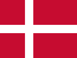 Holstebro, Denmark - 1991
.svg.png) Houffalize, Belgium - 1991
Houffalize, Belgium - 1991 Meerssen, the Netherlands - 1991
 Niederanven, Luxembourg - 1991
 Preveza, Greece - 1991
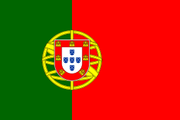 Sesimbra, Portugal - 1991
 Sherborne, United Kingdom - 1991
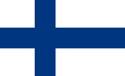 Karkkila, Finland - 1997
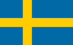 Oxelösund, Sweden - 1998
 Judenburg, Austria - 1999
 Chojna, Poland - 2004
 Kőszeg, Hungary - 2004
 Sigulda, Latvia - 2004
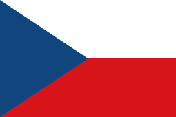 Sušice, Czech Republic - 2004
 Türi, Estonia - 2004
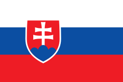 Zvolen, Slovakia - 2007
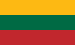 Prienai, Lithuania - 2008
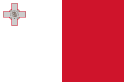 Marsaskala, Malta - 2009
 Siret, Romania - 2010
References
- 1 2 "Area by municipality as of 1 January 2011" (PDF) (in Finnish and Swedish). Land Survey of Finland. Retrieved 9 March 2011.
- 1 2 "Ennakkoväkiluku sukupuolen mukaan alueittain, maaliskuu.2016" (in Finnish). Statistics Finland. Retrieved 31 March 2016.
- ↑ "Population according to language and the number of foreigners and land area km2 by area as of 31 December 2008". Statistics Finland's PX-Web databases. Statistics Finland. Retrieved 29 March 2009.
- ↑ "Population according to age and gender by area as of 31 December 2008". Statistics Finland's PX-Web databases. Statistics Finland. Retrieved 28 April 2009.
- ↑ "List of municipal and parish tax rates in 2011". Tax Administration of Finland. 29 November 2010. Retrieved 13 March 2011.
- ↑ "Douzelage.org: Home". www.douzelage.org. Retrieved 2009-10-21.
- ↑ "Douzelage.org: Member Towns". www.douzelage.org. Retrieved 2009-10-21.
External links
 Media related to Karkkila at Wikimedia Commons
- Official site
| Municipalities |  | |
|---|---|---|
| Former municipalities |
| |
European Union: Members of the town twinning "Douzelage" | ||
|---|---|---|