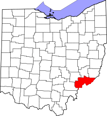
Newport, Washington County, Ohio
| Newport, Ohio | |
|---|---|
| Census Designated Place | |
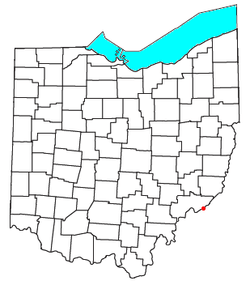 Location of Newport in Ohio | |
| Country | United States |
| State | Ohio |
| County | Washington |
| Time zone | Eastern (EST) (UTC-5) |
| • Summer (DST) | EDT (UTC-4) |
| ZIP code | 45768 |
| Area code(s) | 740 |
Newport is a census-designated place in eastern Newport Township, Washington County, Ohio, United States.[1] Although it is unincorporated, it has a post office, with the ZIP code of 45768.[2] Newport lies along the Ohio River several miles above the county seat of Marietta. Its main street is formed by State Route 7.[3]
Newport is the location of the Carpenter Bridge, which carries State Route 807 over the Ohio River. It is the first bridge over the Ohio River above Marietta.
Demographics
As of the census of 2010,[4] there were 1003 people, 399 households, and 296 families residing in the town. The racial makeup of the town was 98.8% White, 0.6% Asian, 0.1% Native American, and 0.5% from two or more races. Hispanic or Latino of any race were 0.4% of the population.
There were 399 households of which 23.3% had children under the age of 18 living with them, 61.9% were married couples living together, 8.5% had a female householder with no husband present, 3.8% had a male householder with no wife present, and 25.8% were non-families. 22.3% of all households were made up of individuals and 11.5% had someone living alone who was 65 years of age or older. The average household size was 2.51 and the average family size was 2.92.
The median age in the town was 42 years. The gender makeup of the town was 48.6% male and 51.4% female.
History
The first settlement at Newport was made as early as 1798, but the site was not platted until 1839.[5] A post office called Newport has been in operation since 1815.[6]
Located along State Route 7 a short distance southwest of Newport is the Judge Joseph Barker House; built in 1832, it is listed on the National Register of Historic Places.[7]
References
- ↑ U.S. Geological Survey Geographic Names Information System: Newport, Washington County, Ohio
- ↑ Zip Code Lookup
- ↑ DeLorme. Ohio Atlas & Gazetteer. 7th ed. Yarmouth: DeLorme, 2004, p. 73. ISBN 0-89933-281-1.
- ↑ "American Factfinder". United States Census Bureau. Retrieved 2016-11-18.
- ↑ History of Washington County, Ohio: With Illustrations and Biographical Sketches. H.Z. Williams. 1881. p. 578.
- ↑ "Washington County". Jim Forte Postal History. Retrieved 29 December 2015.
- ↑ National Park Service (2009-03-13). "National Register Information System". National Register of Historic Places. National Park Service.
External links
Coordinates: 39°23′27″N 81°13′36″W / 39.39083°N 81.22667°W