Nancowry Subdivision
 Nancowry Subdivision | |
| Geography | |
|---|---|
| Location | Bay of Bengal |
| Coordinates | 8°10′N 93°22′E / 8.16°N 93.36°ECoordinates: 8°10′N 93°22′E / 8.16°N 93.36°E |
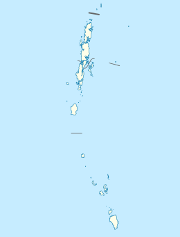
| Archipelago | Nicobar Islands |
| Adjacent bodies of water | Indian Ocean |
| Total islands | 15 |
| Major islands | |
| Area | 453.65 km2 (175.16 sq mi)[1] |
| Administration | |
| District | Nicobar |
| Island group | Nicobar Islands |
| Subdivisions of India | Nancowry Subdivision |
Largest settlement |
Kalatapu (population 1870) |
| Demographics | |
| Demonym | Hindi |
| Population | 10636 (2011) |
| Pop. density | 23.5 /km2 (60.9 /sq mi) |
| Ethnic groups | Hindu, Nicobarese |
| Additional information | |
| Time zone | |
| PIN | 744301 |
| Telephone code | 03192 |
| Official website |
www |
| ISO Code | IN-AN-00[2] |
| Literacy | 84.4% |
| Avg. summer temperature | 30.2 °C (86.4 °F) |
| Avg. winter temperature | 23.0 °C (73.4 °F) |
| Sex ratio | 1.2♂/♀ |
| unit_pref | Metric |
| Census Code | 35.638.0001 |
| Official Languages |
Hindi, English, Tamil Car (regional) |
Nancowry Subdivision is one of three local administrative divisions of the Indian district of Nicobar, part of the Indian union territory of Andaman and Nicobar Islands.[3]
Administration
It includes 4 taluks:
References
- ↑ "Islandwise Area and Population - 2011 Census" (PDF). Government of Andaman.
- ↑ Registration Plate Numbers added to ISO Code
- ↑ "Village Code Directory: Andaman & Nicobar Islands" (PDF). Census of India. Retrieved January 16, 2011.
| Wikimedia Commons has media related to Nancowry. |
 Andaman and Nicobar Islands travel guide from Wikivoyage
This article is issued from Wikipedia - version of the 11/29/2016. The text is available under the Creative Commons Attribution/Share Alike but additional terms may apply for the media files.