Moyale Airport
| Moyale Airport Moyale Lower Airport | |||||||||||
|---|---|---|---|---|---|---|---|---|---|---|---|
| IATA: OYL – ICAO: HKMY | |||||||||||
| Summary | |||||||||||
| Airport type | Public, Civilian | ||||||||||
| Owner | Kenya Civil Aviation Authority | ||||||||||
| Serves | Moyale, Kenya | ||||||||||
| Elevation AMSL | 2,790 ft / 850 m | ||||||||||
| Coordinates | 03°27′54″N 039°06′18″E / 3.46500°N 39.10500°ECoordinates: 03°27′54″N 039°06′18″E / 3.46500°N 39.10500°E | ||||||||||
| Map | |||||||||||
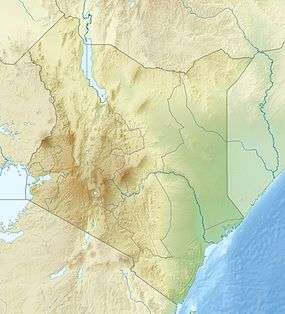 HKMY Location of airport in Kenya | |||||||||||
| Runways | |||||||||||
| |||||||||||
Moyale Airport (IATA: OYL, ICAO: HKMY), also referred to as Moyale Lower Airport, is an airport located in the town of Moyale, Marsabit County, in the northern part of the Republic of Kenya, at the international border with Ethiopia. Its location is approximately 590 kilometres (370 mi), by air, northeast of Nairobi International Airport, the country’s largest civilian airport.[1] The geographic coordinates of this airport are:3° 27' 54.00"N, 39° 6' 18.00"E (Latitude:3.46500; Longitude:39.10500).
Overview
Moyale Airport, Kenya is a civilian airport that serves the town of Moyale and surrounding communities. Situated at 850 metres (2,790 ft) above sea level,[2] the airport has a single asphalt runway which measures 4,265 feet (1,300 m) in length and is of unknown width at this time.[3] At the moment there are no known regular, scheduled, airline services to Moyale Airport, Kenya.
Airlines and destinations
None at the moment.
See also
References
External links
- Kenya Airports Authority
- Location of Moyale Airport at Google Maps
- Aeronautical chart for HKMY at SkyVector
- Current weather for HKMY at NOAA/NWS
- Accident history for OYL at Aviation Safety Network