Kakamega Airport
| Kakamega Airport | |||||||||||
|---|---|---|---|---|---|---|---|---|---|---|---|
| IATA: GGM – ICAO: HKKG | |||||||||||
| Summary | |||||||||||
| Airport type | Public, Civilian | ||||||||||
| Owner | Kenya Airports Authority | ||||||||||
| Serves | Kakamega, Kenya | ||||||||||
| Location |
Kakamega, | ||||||||||
| Elevation AMSL | 5,020 ft / 1,530 m | ||||||||||
| Coordinates | 00°16′12″N 34°47′00″E / 0.27000°N 34.78333°E | ||||||||||
| Map | |||||||||||
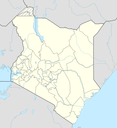 HKKG Location of Kakakamega Airport in Kenya | |||||||||||
| Runways | |||||||||||
| |||||||||||
Kakamega Airport is a small airport in Kenya. It serves the town of Kakamega. At 1,530 metres (5,020 ft) above sea level,[1] the airport has a single asphalt runway which measures 4,200 feet (1,300 m) in length and 49 feet (15 m) in width.[2]
Location
Kakamega Airport (IATA: GGM, ICAO: HKKG) is in Kakamega County in the town of Kakamega, in western Kenya, close to the international border with the Republic of Uganda.
It is approximately 301 kilometres (187 mi), by air, northwest of Nairobi International Airport, the country's largest civilian airport.[3] The geographic coordinates of this airport are 0° 16' 12.00"N, 34° 47' 0.00"E (Latitude: 0.270000; Longitude: 34.783332).
Airport may be closed due to either construction or demolition of runway and ramp (May 2014).
Airlines and destinations
See also
References
External links
- Location of Kakamega Airport at Google Maps
- Website of Kenya Airports Authority
- Airkenya Flight Routes
Coordinates: 0°34′35″N 34°33′05″E / 0.576390°N 34.551390°E