Mount Muir (Alberta)
| Mount Muir | |
|---|---|
 Mount Muir | |
| Highest point | |
| Elevation | 2,758 m (9,049 ft) [1] |
| Prominence | 518 m (1,699 ft) [2] |
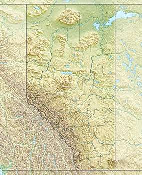
| Coordinates | 50°23′42″N 114°49′36″W / 50.39500°N 114.82667°WCoordinates: 50°23′42″N 114°49′36″W / 50.39500°N 114.82667°W [2] |
| Geography | |
| Location | Alberta, Canada |
| Parent range | High Rock Range |
| Topo map | NTS 82J/07 |
Mount Muir is a mountain located on the Continental Divide on the Alberta-British Columbia border. The mountain was named in 1918 after Alexander Muir.[1][2] It is located in the High Rock Range.
See also
- Mountains of Alberta
- List of peaks on the British Columbia-Alberta border
- Mountains of British Columbia
References
- 1 2 "Mount Muir". PeakFinder.com. Retrieved 2009-02-24.
- 1 2 3 "Mount Muir". Bivouac.com. Retrieved 2009-02-24.
This article is issued from Wikipedia - version of the 4/11/2011. The text is available under the Creative Commons Attribution/Share Alike but additional terms may apply for the media files.