Monsrud Bridge
|
Monsrud Bridge | |
  | |
| Location | Swebakken Rd. over Paint Creek |
|---|---|
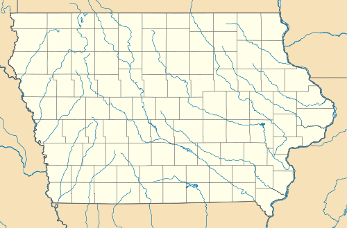
| Nearest city | Waterville, Iowa |
| Coordinates | 43°13′08″N 91°19′36″W / 43.21889°N 91.32667°WCoordinates: 43°13′08″N 91°19′36″W / 43.21889°N 91.32667°W |
| Built | 1887 |
| Built by | King Iron Bridge Co. |
| Architectural style | Bowstring pony arch |
| MPS | Highway Bridges of Iowa MPS |
| NRHP Reference # | 98000771[1] |
| Added to NRHP | May 15, 1998 |
Monsrud Bridge is a historic structure originally located northwest of Waterville, Iowa, United States. It spanned Paint Creek for 43 feet (13 m).[2] The King Iron Bridge Company of Cleveland fabricated and erected the Bowstring pony arch structure in 1887. It was replaced with a low water crossing, and it was abandoned in place.[2] In 2004 the bridge was moved to the Yellow River State Forest.[3] It was listed on the National Register of Historic Places in 1998.[1]
References
- 1 2 National Park Service (2009-03-13). "National Register Information System". National Register of Historic Places. National Park Service.
- 1 2 Clayton B. Fraser. "Monsrud Bridge" (PDF). National Park Service. Retrieved 2016-08-17. with photos
- ↑ "Monsrud bridge". Iowa Department of Transportation. Retrieved 2016-08-17.
| Topics | |
|---|---|
| Lists by states |
|
| Lists by insular areas | |
| Lists by associated states | |
| Other areas | |
| |
| Dorchester | 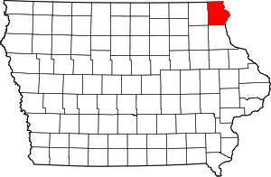 | |
|---|---|---|
| Hanover Township | ||
| Lansing | ||
| Ludlow | ||
| Marquette | ||
| New Albin | ||
| Postville | ||
| Waterville | ||
| Waukon | ||
This article is issued from Wikipedia - version of the 12/2/2016. The text is available under the Creative Commons Attribution/Share Alike but additional terms may apply for the media files.