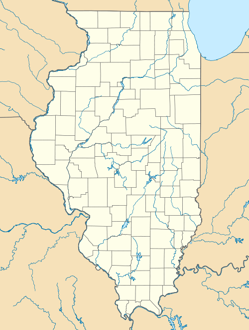
Mary's River Covered Bridge
|
Mary's River Covered Bridge | |
 | |
  | |
| Nearest city | Chester, Illinois |
|---|---|
| Coordinates | 37°56′55″N 89°45′57″W / 37.94861°N 89.76583°WCoordinates: 37°56′55″N 89°45′57″W / 37.94861°N 89.76583°W |
| Area | 0.5 acres (0.20 ha) |
| Built | 1854 |
| Architectural style | Burr Arch design |
| NRHP Reference # | 74000771[1] |
| Added to NRHP | December 31, 1974 |
Mary's River Covered Bridge is a covered bridge which crosses Marys River 4 miles (6.4 km) northeast of Chester, Illinois. The Burr truss bridge is 86 feet (26 m) long and 17 feet 8 inches (5.38 m) wide. The bridge was built in 1854 as part of a plank toll road connecting Chester to Bremen; the bridge allowed agricultural products to be transported to Chester, a significant port on the Mississippi River. In the early 1870s, the toll road and the bridge were sold to Randolph County.[2] The bridge served road traffic until 1930.[3]
In 1936, the State of Illinois assumed ownership of the bridge in order to preserve it. The bridge is now located in a picnic area and park on the south side of Illinois Route 150. It is the only extant covered bridge in Southern Illinois.[3]
The bridge was added to the National Register of Historic Places on December 31, 1974.[1]
References
- 1 2 National Park Service (2010-07-09). "National Register Information System". National Register of Historic Places. National Park Service.
- ↑ Newton, J. F. (November 29, 1972). "National Register of Historic Places Inventory - Nomination Form: Mary's River Covered Bridge" (PDF). National Park Service. Retrieved October 16, 2013.
- 1 2 "Visitors Guide to Mary's River Covered Bridge". greatriverroad.com. Retrieved October 16, 2013.