Machu Tanka Tanka
| Machu Tanka Tanka | |
|---|---|
 Machu Tanka Tanka Location in Bolivia | |
| Highest point | |
| Elevation | 4,866 m (15,965 ft) [1] |
| Coordinates | 18°04′34″S 66°42′45″W / 18.07611°S 66.71250°WCoordinates: 18°04′34″S 66°42′45″W / 18.07611°S 66.71250°W |
| Geography | |
| Location | Bolivia, Cochabamba Department, Bolívar Province |
| Parent range | Andes |
Machu Tanka Tanka (possibly from Quechua machu old, Aymara tanka hat and biretta of priests,[2][3] the reduplication indicates that there is a group or a complex of something, "the old one with many hats", or Machu Tanqa Tanqa (Aymara tanqa tanqa beetle,[4] "the old beetle") Hispanicized spelling Macho Tankha Tankha) is a 4,866-metre-high (15,965 ft) mountain in the Andes of Bolivia. It is situated in the Cochabamba Department, Bolívar Province. Machu Tanka Tanka lies northeast of the slightly lower mountain Wayna Tanka Tanka.[1][5]
References
- 1 2 BIGM map 1:50,000 6239-I Huayna Chaca
- ↑ Teofilo Laime Ajacopa, Diccionario Bilingüe Iskay simipi yuyayk'ancha, La Paz, 2007 (Quechua-Spanish dictionary)
- ↑ Radio San Gabriel, "Instituto Radiofonico de Promoción Aymara" (IRPA) 1993, Republicado por Instituto de las Lenguas y Literaturas Andinas-Amazónicas (ILLLA-A) 2011, Transcripción del Vocabulario de la Lengua Aymara, P. Ludovico Bertonio 1612 (Spanish-Aymara-Aymara-Spanish dictionary)
- ↑ Teodoro Marka M., Nociónes Basicas de Lengua Aymara, p. 21
- ↑ "Bolívar". ine.gob.bo. Retrieved September 11, 2014. (unnamed, northeast of Tankha Tankha Loma)
Capital: Cochabamba | ||
| Provinces | 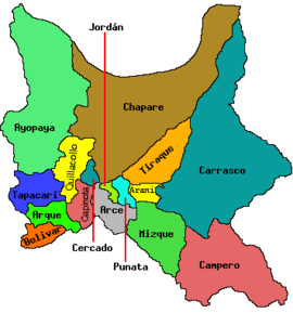 | |
| Municipalities (and seats) |
| |
This article is issued from Wikipedia - version of the 5/13/2016. The text is available under the Creative Commons Attribution/Share Alike but additional terms may apply for the media files.