Lubudi River
| Lubudi River | |
|---|---|
 Upper Lualaba and tributaries, Lubudi to the west | |
| Country | Democratic Republic of the Congo |
| Basin | |
| Main source | 11°15′34″S 24°38′05″E / 11.259562°S 24.634781°E |
| River mouth | 9°12′36″S 25°37′24″E / 9.209925°S 25.623336°ECoordinates: 9°12′36″S 25°37′24″E / 9.209925°S 25.623336°E |
The Lubudi River (or Labody) is a tributary of the Lualaba River in the Democratic Republic of the Congo (DRC). The Lubudi rises near the Zambian border southwest of Kolwezi. It flows north and northeast to join the Lualaba from the left where the southern Katanga plateau drops into the Upemba Depression, near Bukama.[1]
History
Around 1800 the copper mines on the Lubudi river were part of the Lunda Empire. The people delivered copper to the Emperor ("Mwant Yav") as tribute, but also sold copper bars in exchange for food such as dried fish and manioc flour.[2] In the early nineteenth century the villagers on the upper Lubudi were subject to the Mushima chief, an ally of the king of Samba.[3]
In 1910 the Belgians finally took control of the Kuba kingdom. The vice-Governor Eugène Henry delimited the new Kuba "chiefdom" narrowly, excluding the villages to the east of the Lubudi. The villagers did not accept the change and continued to pay tribute to the Kuba capital.[4] After Kwet Mabine came to power as the Kuba King, he made a formal tour in 1925 that included the Ngongo chiefdoms and their main town of Misumba. The chiefs accepted his authority.[5]
References
- ↑ Higginson 1989, p. 19.
- ↑ von Oppen 1994, p. 149.
- ↑ Reefe 1981, p. 100.
- ↑ Vansina 2010, p. 117.
- ↑ Vansina 2010, p. 19.
Sources
- Higginson, John (1989). A working class in the making: Belgian colonial labor policy, private enterprise, and the African mineworker, 1907-1951. Univ of Wisconsin Press. ISBN 0-299-12070-8.
- Reefe, Thomas Q. (1981). The rainbow and the kings: a history of the Luba Empire to 1891. University of California Press. ISBN 0-520-04140-2.
- von Oppen, Achim (1994). Terms of trade and terms of trust: the history and contexts of pre-colonial market production around the Upper Zambezi and Kasai. LIT Verlag Münster. ISBN 3-89473-246-6.
- Vansina, Jan (2010). Being colonized: the Kuba experience in rural Congo, 1880-1960. Univ of Wisconsin Press. ISBN 0-299-23644-7.
| Congo left bank (south) | 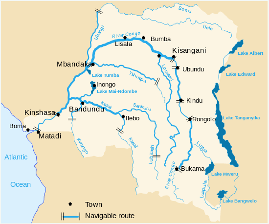 | |
|---|---|---|
| Kasai and tributaries | ||
| Congo right bank (north) | ||
| Lualaba and tributaries | ||
| Other | ||