Lufira River
Coordinates: 11°01′15″S 26°57′14″E / 11.020817°S 26.953754°E
 The Lualaba River, in red | |
| Country | Democratic Republic of the Congo |
|---|---|
| Basin | |
| River mouth | Lualaba River |
| Physical characteristics | |
| Length | 500 km (310 mi) |
The Lufira River is a tributary of the Lualaba River in the Democratic Republic of the Congo (DRC).
The Lufira rises in the Shaba plateau south of Likasi. The river was dammed in 1926 at Mwadingusha near Likasi to form Lake Tshangalele, a reservoir for a hydroelectric generator supplying power for copper smelting. It flows northwards through the Bia Mountains for about 500 kilometres (310 mi), joining the Lualaba in Lake Kisale.
References
| Congo left bank (south) | 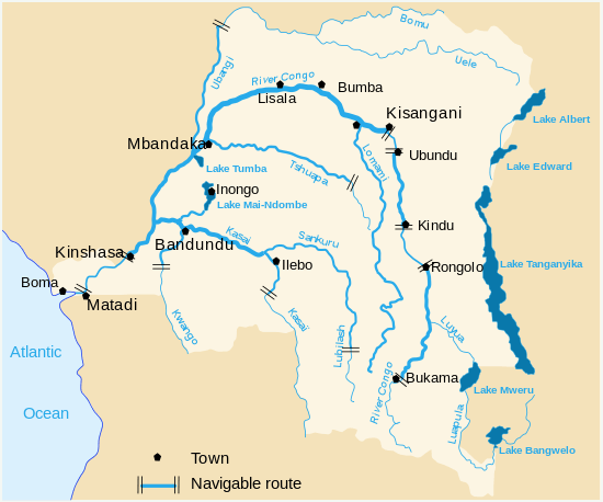 | |
|---|---|---|
| Kasai and tributaries | ||
| Congo right bank (north) | ||
| Lualaba and tributaries | ||
| Other | ||
This article is issued from Wikipedia - version of the 6/3/2016. The text is available under the Creative Commons Attribution/Share Alike but additional terms may apply for the media files.