Kravany, Poprad District
| Kravany | ||
| Municipality | ||
|
||
| Country | Slovakia | |
|---|---|---|
| Region | Prešov | |
| District | Poprad | |
| Elevation | 730 m (2,395 ft) | |
| Coordinates | 48°59′51″N 20°12′07″E / 48.99750°N 20.20194°ECoordinates: 48°59′51″N 20°12′07″E / 48.99750°N 20.20194°E | |
| Area | 24.342143 km2 (9 sq mi) | |
| Population | 883 (31 December 2010) | |
| Density | 36/km2 (93/sq mi) | |
| Postal code | 059 18 | |
| Area code | +421-52 | |
| Car plate | PP | |
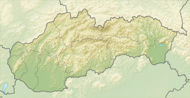 Location of Kravany in Slovakia | ||
| Wikimedia Commons: Kravany | ||
| Statistics: | ||
| Website: www.kravany.sk | ||

Kravany is a village and municipality in the Poprad District in the Prešov Region of eastern Slovakia.[1]
References
- ↑ "Statistical Office of the Slovak Republic" (PDF). Výsledky SODB 2011. Štatistický úrad SR. Archived from the original (PDF) on October 12, 2013. Retrieved 12 August 2012.
External links
Municipalities of Poprad District | ||
|---|---|---|
This article is issued from Wikipedia - version of the 7/21/2016. The text is available under the Creative Commons Attribution/Share Alike but additional terms may apply for the media files.