Khoonkhwuttunne, California
Coordinates: 41°56′54″N 124°12′11″W / 41.94833°N 124.20306°W
| Khoonkhwuttunne | |
|---|---|
| Former settlement | |
 Khoonkhwuttunne Location in California | |
| Coordinates: 41°56′54″N 124°12′11″W / 41.94833°N 124.20306°W | |
| Country | United States |
| State | California |
| County | Del Norte County |
| Elevation[1] | 33 ft (10 m) |
Khoonkhwuttunne (also, Qo-on-qwut-tunne) is a former Tolowa settlement in Del Norte County, California, located at the mouth of the Smith River. It lay at an elevation of 33 feet (10 m).
References
Municipalities and communities of Del Norte County, California, United States | ||
|---|---|---|
| City | 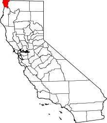 | |
| CDPs | ||
| Unincorporated communities | ||
| Indian reservations | ||
| Ghost towns |
| |
This article is issued from Wikipedia - version of the 7/15/2016. The text is available under the Creative Commons Attribution/Share Alike but additional terms may apply for the media files.