Käsivarsi Wilderness Area
| Käsivarsi Wilderness Area (Käsivarren erämaa) | |
| Protected area | |
 A view from Termisvaara hill | |
| Country | Finland |
|---|---|
| Region | Lapland |
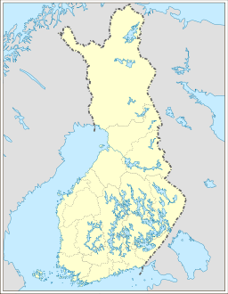
| Location | Enontekiö |
| - coordinates | 69°05′N 021°30′E / 69.083°N 21.500°ECoordinates: 69°05′N 021°30′E / 69.083°N 21.500°E |
| Area | 2,206 km2 (852 sq mi) |
| IUCN category | Ib - Wilderness Area |
 | |
The Käsivarsi Wilderness Area (Finnish: Käsivarren erämaa-alue) is the second-largest wilderness reserve in Finland. It was established in 1991 like all the other 11 wilderness areas in Lapland. Its area is 2,206 square kilometres (852 sq mi). It is the most popular wilderness area in Finland, by number of visitors. It is governed by the Metsähallitus.[1]
All Finnish fells of over 1,000 meters of height, except for nearby Saana, are situated in the Käsivarsi Wilderness Area.
Käsivarsi, the Finnish word for arm, refers to the location of the area—in the raised arm of the Maiden of Finland.
References
- ↑ "Käsivarsi Wilderness Area". Outdoors.fi. Metsähallitus. Retrieved 2015-05-10.
External links
 Käsivarsi Wilderness Area travel guide from Wikivoyage
This article is issued from Wikipedia - version of the 2/27/2016. The text is available under the Creative Commons Attribution/Share Alike but additional terms may apply for the media files.