Hammastunturi Wilderness Area
| Hammastunturi Wilderness Area (Hammastunturin erämaa) | |
| Protected area | |
 | |
| Country | Finland |
|---|---|
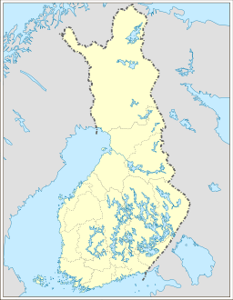
| Region | Lapland |
| Coordinates | 68°31′N 26°37′E / 68.517°N 26.617°ECoordinates: 68°31′N 26°37′E / 68.517°N 26.617°E |
| Area | 1,825 km2 (705 sq mi) |
| Established | 1991 |
| Management | Metsähallitus |
| IUCN category | VI - Managed Resource Protected Area |
 | |
The Hammastunturi Wilderness Area (Finnish: Hammastunturin erämaa) is located in Lapland, Finland. It was established in 1991 like all the other 11 wilderness areas of Finland. It covers 1,825 square kilometres (705 sq mi) situated in a fell and forest area between the Urho Kekkonen National Park and Lemmenjoki National Park. It is governed by the Metsähallitus.[1]
The history of the area comprises reindeer husbandry, Lapland gold rush, and later road building and settlements. During the gold rush, around 1870, Kultala along the Ivalo River was a large village center inhabiting hundreds of people. There were as many gold diggers as the other people of Inari put together.
References
- ↑ "Hammastunturi Wilderness Area". Outdoors.fi. Metsähallitus. Retrieved 2015-05-10.
This article is issued from Wikipedia - version of the 9/29/2015. The text is available under the Creative Commons Attribution/Share Alike but additional terms may apply for the media files.