Ireland, Bedfordshire
Coordinates: 52°03′36″N 0°20′54″W / 52.06002°N 0.34836°W
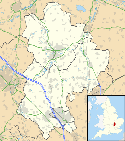
Ireland is a hamlet in the civil parish of Southill, Bedfordshire, (where the 2011 Census population was included.) England.[1][2]
The hamlet was known as Inlonde in the 16th century.[3]
References
- ↑ Ordnance Survey: Landranger map sheet 153 Bedford & Huntingdon (St Neots & Biggleswade) (Map). Ordnance Survey. 2013. ISBN 9780319231722.
- ↑ "Ordnance Survey Election Maps". www.ordnancesurvey.co.uk. Ordnance Survey. Retrieved 3 April 2016.
- ↑ "Bedfordshire community Archive: Ireland". www.bedfordshire.gov.uk. Retrieved 4 April 2016.
External links
![]() Media related to Ireland, Bedfordshire at Wikimedia Commons
Media related to Ireland, Bedfordshire at Wikimedia Commons
This article is issued from Wikipedia - version of the 11/9/2016. The text is available under the Creative Commons Attribution/Share Alike but additional terms may apply for the media files.