Inezgane Airport
| Inezgane Airport | |||||||||||
|---|---|---|---|---|---|---|---|---|---|---|---|
| IATA: none – ICAO: GMAA | |||||||||||
| Summary | |||||||||||
| Airport type | Public | ||||||||||
| Location | Agadir, Morocco | ||||||||||
| Elevation AMSL | 89 ft / 27 m | ||||||||||
| Coordinates | 30°22′52″N 009°32′46″W / 30.38111°N 9.54611°W | ||||||||||
| Map | |||||||||||
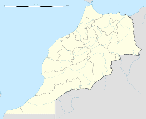 Inezgane Location of Inezgane Airport in Morocco | |||||||||||
| Runways | |||||||||||
| |||||||||||
Inezgane Airport or Agadir Inezgane Airport (ICAO: GMAA) is an airport in Agadir,[1] the capital city of the Souss-Massa region in Morocco. The airport is located approximately 14 km (9 mi) northwest of Agadir's Al Massira Airport.[3]
Facilities
The airport resides at an elevation of 89 feet (27 m) above mean sea level. It has one runway designated 10/28 with an asphalt surface measuring 2,910 by 45 metres (9,547 ft × 148 ft). [1]
Incidents
On August 3, 1975, an Alia Royal Jordanian Airlines Boeing 707 struck a mountain peak when on approach to Agadir Airport. All 188 passengers and crew on board were killed. It is the worst ever incident involving a 707.[4]
World War II
During World War II, the airport was used by the United States Army Air Forces Air Transport Command as a hub for cargo, transiting aircraft and personnel on the North African Cairo–Dakar transport route for cargo, transiting aircraft and personnel. It functioned as a stopover en route to Marrakech Airport or to Dakhla Airport, near Villa Cisneros in French North Africa. In addition, an air connection to Atar Airport also handled cargo and personnel flights.[5]
References
![]() This article incorporates public domain material from the Air Force Historical Research Agency website http://www.afhra.af.mil/.
This article incorporates public domain material from the Air Force Historical Research Agency website http://www.afhra.af.mil/.
- 1 2 3 Airport information for GMAA from DAFIF (effective October 2006)
- ↑ Airport information for GMAA at Great Circle Mapper. Source: DAFIF (effective October 2006).
- ↑ "Annotated map showing distance and heading from Al Massira Airport to Inezgane Airport". WikiMapia. Retrieved 13 March 2010.
- ↑ Aviation Safety Network entry for 1975 accident
- ↑ File:Atcroutes-1sep1945.jpg