Bouarfa Airport
| Bouarfa Airport Aéroport de Bouarfa | |||||||||||
|---|---|---|---|---|---|---|---|---|---|---|---|
| IATA: UAR – ICAO: GMFB | |||||||||||
| Summary | |||||||||||
| Airport type | Public | ||||||||||
| Operator | ONDA | ||||||||||
| Serves | Bouarfa, Morocco | ||||||||||
| Elevation AMSL | 1,122 m / 3,680 ft | ||||||||||
| Coordinates | 32°30′52″N 1°58′42″W / 32.51444°N 1.97833°WCoordinates: 32°30′52″N 1°58′42″W / 32.51444°N 1.97833°W | ||||||||||
| Map | |||||||||||
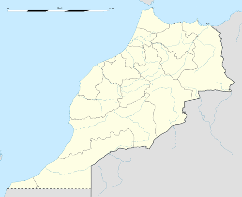 UAR Location of airport in Morocco | |||||||||||
| Runways | |||||||||||
| |||||||||||
Bouarfa Airport (French: Aéroport de Bouarfa)[1] (IATA: UAR, ICAO: GMFB)[2] is a public airport serving Bouarfa, a town in Oriental Region. It is located about 2 km southwest of the town.[1] It is operated by Office National Des Aéroports.[1]
Infrastructure
The airport has one runway marked 09/27, 3200 m long and 45 m wide with asphalt surface. There is one terminal. Ground transportation is by taxi.
References
- 1 2 3 4 "AIP Maroc" (PDF). Service de l'Information Aéronautique du Maroc.
- ↑ "Airline and Airport Code Search". http://www.iata.org/. Retrieved 3 February 2015. External link in
|work=(help)
This article is issued from Wikipedia - version of the 11/25/2016. The text is available under the Creative Commons Attribution/Share Alike but additional terms may apply for the media files.