Forest Park, Baltimore
| Forest Park | |
|---|---|
| Neighborhood | |
|
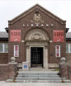
Forest Park Branch of the Enoch Pratt Free Library | |
| Country | United States |
| State | Maryland |
| City | Baltimore |
| Time zone | Eastern (UTC-5) |
| • Summer (DST) | EDT (UTC) |
| ZIP code | 21215[1] |
| Area code | 410, 443, and 667 |
Forest Park (and Howard Park) is a region of Northwest Baltimore, Maryland located west of Reisterstown Road, south of Northern Parkway, and east of the Baltimore City/County line. In Baltimore, the region is referred to by locals simply as "Forest Park" and includes the neighborhoods of Ashburton, Callaway-Garrison, Central Forest Park, Dolfield, Dorchester, East Arlington, Forest Park, Grove Park, Hanlon Longwood, Howard Park, Garwyn Oaks, Purnell, West Arlington, West Forest Park, and Windsor Hills.
It is an economically diverse area that was once the center of Baltimore's Jewish community. During the Vietnam War, however, the area experienced white flight and is now an almost exclusively African American region of Baltimore. The neighborhoods in Forest Park and Howard Park are varied as many have experienced urban decay and crime while many appear as suburban and upper-middle-class neighborhoods.
Parks and recreation
Forest Park is home to Hillsdale, Hanlon, and Powder Mill Parks in addition to the Forest Park Golf Course. It is also within proximity of the Baltimore Zoo and Druid Hill Park.
Known as Gwynn Oak
The area in Baltimore County near Forest Park is known as Gwynn Oak located directly west of the Baltimore city line.
Roads
Garrison Avenue/Garrison Boulevard
Garrison Avenue starts as a one-way street from Greenspring Avenue, changes to Garrison Boulevard after Wabash Avenue, then makes a slight left after passing Liberty Heights Avenue (known as MD-26) to Clifton Avenue.
Berwyn Avenue
Berwyn Avenue is a street from Liberty Heights Avenue to Garrison Boulevard, and a little street to the other side of Liberty Heights Avenue.
Forest Park Avenue
This street runs from Garrison Boulevard to Security Boulevard (crossing Baltimore County line) then splits off to Forest Park Avenue with a traffic light across from I-70, and ends at St. Agnes Lane.
See also
References
External links
Coordinates: 39°21′48″N 76°41′20″W / 39.363236°N 76.688862°W