Hisingen
|
Eriksberg on the northern bank of the Göta älv river where housing areas have replaced the shipyards. | |
 Hisingen | |
| Geography | |
|---|---|
| Location | Kattegat |
| Coordinates | 57°46′N 11°53′E / 57.767°N 11.883°E |
| Area | 198.84 km2 (76.77 sq mi)[1] |
| Administration | |
|
Sweden | |
| County | Västra Götaland County |
| Municipality | Gothenburg Municipality |
| Demographics | |
| Population | 130,000 |
| Pop. density | 628.14 /km2 (1,626.88 /sq mi) |
| Ethnic groups | Swedish |

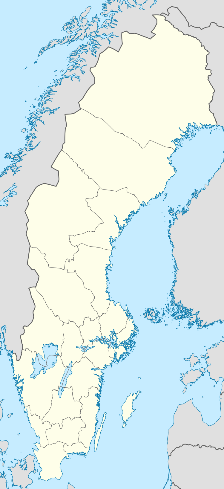
Hisingen is the fourth-largest island of Sweden (after Gotland, Öland and Orust), with an area of 199 km2 (77 sq mi). In 2014 Statistics Sweden declared it to instead be the fifth largest island, under a definition which adds artificial canals to the possible bodies of water surrounding an island. It has been noted that under this definition, all of Götaland would be the country's largest island, rendering Hisingen instead the sixth largest.[2] It forms part of Gothenburg Municipality, Västra Götaland County, and is bordered by the Göta älv in the south and east, the Nordre älv in the north, and the Kattegat in the west. The northern part of the city of Gothenburg, with its harbours, industries and suburbs, is located on the island, which is divided between the two historical provinces of Västergötland and Bohuslän.
The population of the island is around 130,000, making it the most populated island in Sweden, ahead of Södermalm and Gotland.
Etymology
The etymology of the name Hisingen is disputed. Hísing makes its first appearance in 13th century Icelandic sources; Hisingen is dated back to 1399.
The basic meaning of the prefix His- is "to split, cut off" and can be found in the placenames Hisøy and Hisön. Hence, the name can be interpreted as "the island cut off from the mainland".[3][4][5][6]
A colloquial name for Hisingen is Elevator Nobody or Lift Nobody. This is a play on words; hiss is Swedish for elevator-lift, and ingen is Swedish for nobody.
History
The rock wall paintings (Tumlehed rock painting) and remains of ancient settlements prove that Hisingen was inhabited by the year 9000 BC.[7]
It was on Hisingen that the first town with the name Gothenburg existed. It was founded by king Charles IX in 1603 on the northern bank of the Göta River, at Färjenäs. It was inhabited mostly by Dutch merchants, enticed to settle there by favorable economic conditions. However, the town was completely destroyed by the Danish in 1611 during the Kalmar War.
Until 1658, when it was ceded to Sweden from Denmark-Norway by the Treaty of Roskilde, the island was divided into a Swedish and a Norwegian part. The division continued in the official name of the provincial districts of Swedish and Norwegian Hisingen – Svenska Hisingens härad and Norska Hisingens härad – until 1681 when they were renamed as the Eastern and Western districts.
The island was mostly farmland until the 19th century, when industrialization began and companies like Arendalsvarvet, Eriksberg, Götaverken and Lindholmen started operating there. For most of the 20th century, until the shipyard crisis in the 1970s, the island was the focus for Swedish shipbuilding.
The Volvo car manufacturer has its roots on Hisingen; it was there that their first factory was located and the first car, the Volvo ÖV 4, was produced in 1927.[8] Today, the company still has its main office and production facilities on the island. The Volvo Museum is also located nearby.
Over the last 20 years, the northern bank of Göta älv has undergone major expansion. Residential areas, university buildings and high tech industry have largely replaced the shipyards.
See also: History of Gothenburg, History of Westrogothia, History of Bahusia
Geography

The island has a diverse landscape with coasts, farms and forests. The biggest forest area is Hisingsparken, which is also the largest park in Gothenburg. Rya skog, a smaller forest and a nature reserve, is located in the south of Hisingen.
Ramberget, an 87 m hill, is a well-known landmark. It is part of Keiller's Park, which was established in 1908 and covers an area of over 31 hectares. From the top of the hill, which can be reached by car, there is a wide view of the whole city.
Administration
All of the island belongs to Gothenburg Municipality. It is divided up into six boroughs:
- Backa
- Biskopsgården
- Kärra-Rödbo
- Lundby
- Torslanda
- Tuve-Säve
Transport
The island is linked to the mainland by several bridges, including the Göta älvbron (Göta River Bridge), the Älvsborg Bridge, and the Tingstadstunneln motorway tunnel (a second motorway tunnel is also planned). A number of bus routes, as well as tram lines 5, 6 10 and 13, connect the island to central Gothenburg.
Gothenburg City Airport (Gothenburg's second international airport after Landvetter) is located at Säve in the northern part of Hisingen.
See also
References
- ↑ "Statistisk årsbok 2011" (in Swedish). Statistics Sweden. p. 12. Archived from the original (PDF) on 5 July 2011. Retrieved 5 July 2011.
- ↑ Gistedt, Karin (15 December 2014). "Orust inte längre trea i landet". Bohusläningen (in Swedish). Uddevalla. Retrieved 26 September 2015.
- ↑ Göteborg, ed. Jan Jonasson, "Ortnamn", fil dr Hugo Karlsson, STF-landskapsserie, Esselte, Nacka 1978 ISSN 0347-6081 s.303
- ↑ Älvsborgs län - historia i gränsbygd, ed. Mimi Håkansson, "Häradsnamnen", fil dr Hugo Karlsson, Länsstyrelsen i Älvsborgs län, Risbergs Tryckeri, Uddevalla 1997 ISBN 91-86832-09-3 s.82-83
- ↑ Bohusläns forntid, Carl-Axel Moberg, Göteborg 1963 s.13
- ↑ Mal og Minne, Oddvar Nes, Oslo 1974 s.53
- ↑ Einar Hansson; Sanja Peter; Claes Caldenby, eds. (2008). Upptäck Hisingen!. Göteborg : Göteborgs stadsmuseum. pp. 2 + 118. ISBN 978-91-85488-97-1.
- ↑ "The Volvo history". Volvo Group Global. Retrieved 2010-12-30.
External links
Coordinates: 57°46′N 11°53′E / 57.767°N 11.883°E